Elizabethton in Carter County, Tennessee — The American South (East South Central)
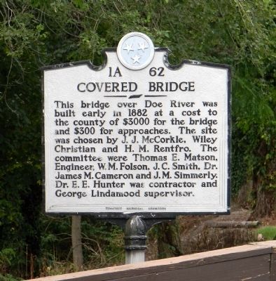
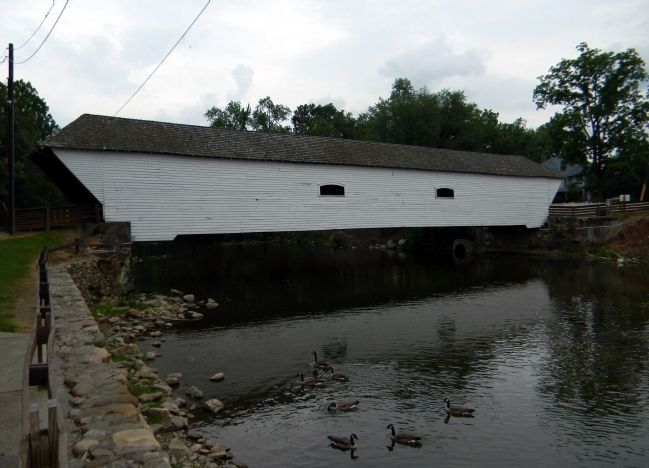
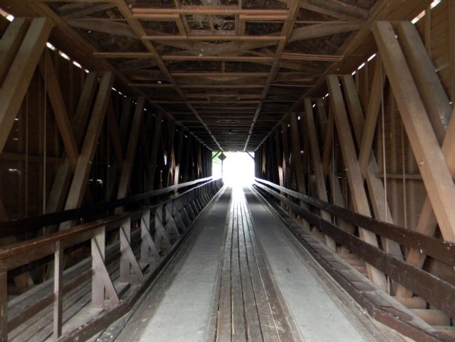
Covered Bridge
Erected by Tennessee Historical Commission. (Marker Number 1A 62.)
Topics and series. This historical marker is listed in this topic list: Bridges & Viaducts. In addition, it is included in the Covered Bridges, and the Tennessee Historical Commission series lists. A significant historical year for this entry is 1882.
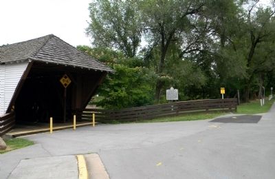
Location. 36° 20.833′ N, 82° 12.724′ W. Marker is in Elizabethton, Tennessee, in Carter County. Marker is at the intersection of South Riverside Drive and 3rd Street, on the right when traveling north on South Riverside Drive. Touch for map. Marker is in this post office area: Elizabethton TN 37643, United States of America. Touch for directions.
Other nearby markers. At least 8 other markers are within walking distance of this marker. First Court West of the Alleghenies (within shouting distance of this marker); City of Elizabethton Bicentennial (about 600 feet away, measured in a direct line); Burgie Drug (about 600 feet away); Old Post Office (about 600 feet away); Samuel Tipton (about 600 feet away); Barnes Boring Hardware (about 600 feet away); Betsy Walkway (about 600 feet away); Carter County Veterans Monument (about 700 feet away). Touch for a list and map of all markers in Elizabethton.
Credits. This page was last revised on September 2, 2020. It was originally submitted on August 31, 2011, by PaulwC3 of Northern, Virginia. This page has been viewed 908 times since then and 19 times this year. Photos: 1, 2, 3, 4. submitted on August 31, 2011, by PaulwC3 of Northern, Virginia.


