Mission Hills in Henderson in Clark County, Nevada — The American Mountains (Southwest)
Alunite
"There's Gold In Them Thar Hills". . . Or Is There?
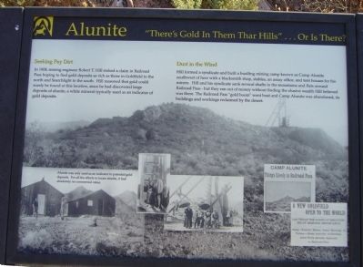
Seeking Pay Dirt
In 1908, mining engineer Robert T. Hill staked a claim in Railroad Pass hoping to find gold deposits as rich as those in Goldfield to the north and Searchlight to the south. Hill reasoned that gold could surely be found at this location, since he had discovered large deposits of alunite, a white mineral typically used as an indicator of gold deposits.
Dust in the Wind
Hill formed a syndicate and built a bustling mining camp known as Camp Alunite southwest of here with a blacksmith shop, stables, an assay office, and tent houses for his miners. Hill and his syndicate sank several shafts in the mountains and flats around Railroad Pass – but they ran out of money without finding the elusive wealth Hill believed was there. The Railroad Pass "gold boom" went bust and Camp Alunite was abandoned, its building and workings reclaimed by the desert.
Topics. This historical marker is listed in these topic lists: Exploration • Industry & Commerce • Settlements & Settlers. A significant historical year for this entry is 1908.
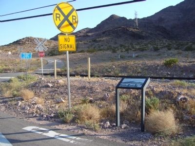
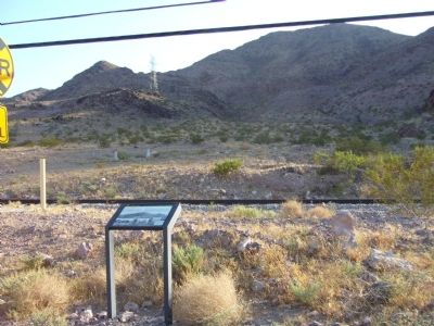
Location. 35° 58.423′ N, 114° 54.699′ W. Marker is in Henderson, Nevada, in Clark County. It is in Mission Hills. Marker can be reached from U.S. 95/93. Marker is on a biking/walking trail behind the Railroad Pass Casino. Touch for map. Marker is at or near this postal address: 2800 South Boulder Highway, Henderson NV 89015, United States of America. Touch for directions.
Other nearby markers. At least 8 other markers are within 4 miles of this marker, measured as the crow flies. Railroad Pass (about 400 feet away, measured in a direct line); Bootleg Canyon (approx. 2.9 miles away); Arrowhead Trail (approx. 3.1 miles away); TWA Terminal Building (approx. 3˝ miles away); McKeeversville, Boulder City's Predecessor (approx. 3.9 miles away); Hoover Dam Memorial (approx. 4 miles away); Frank T. Crowe (approx. 4 miles away); “Rag Town Goddess” (approx. 4 miles away).
Credits. This page was last revised on February 7, 2023. It was originally submitted on September 1, 2011, by Bill Kirchner of Tucson, Arizona. This page has been viewed 843 times since then and 31 times this year. Photos: 1, 2, 3. submitted on September 1, 2011, by Bill Kirchner of Tucson, Arizona. • Syd Whittle was the editor who published this page.


