Near Mariposa in Mariposa County, California — The American West (Pacific Coastal)
Mt. Buckingham School
Photographed by Barry Swackhamer, August 19, 2011
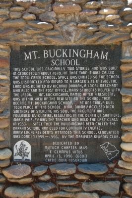
1. Mt. Buckingham School Marker
Erected 1996 by E Clampus Vitus, Matuca Chapter No. 1849.
Topics and series. This historical marker is listed in this topic list: Education. In addition, it is included in the E Clampus Vitus series list. A significant historical year for this entry is 1878.
Location. 37° 30.978′ N, 119° 50.13′ W. Marker is near Mariposa, California, in Mariposa County. It is at the intersection of Darrah Road and Triangle Road on Darrah Road. Touch for map. Marker is at or near this postal address: 5991 Darrah Road, Mariposa CA 95338, United States of America. Touch for directions.

Regionally, this marker is in the Gold Country and in the Sierra Nevada. It is also in the American Mountain West. Globally, it is in North America, on the Pacific Rim, in the Western Hemisphere, in the Western World, and in the Anglosphere. Historically, it finds itself in what was once New Spain and also Mexico’s Alta California.
Other nearby markers. At
this page online
Photographed by Barry Swackhamer, August 19, 2011
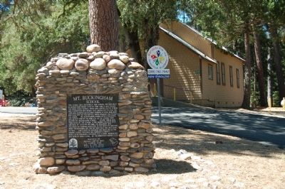
2. Mt. Buckingham School Marker
Photographed by Barry Swackhamer, August 19, 2011
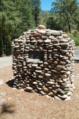
3. The back of the Mt. Buckingham School monument
Matuca Chapter 1849 E C V gratefully acknowledges the MacReady Ranch Inc. on whose property this monument has been erected April 1996.
Photographed by Barry Swackhamer, August 19, 2011
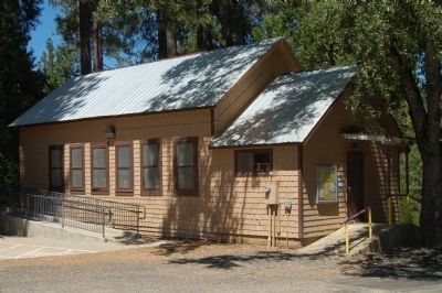
4. Mt. Buckingham School
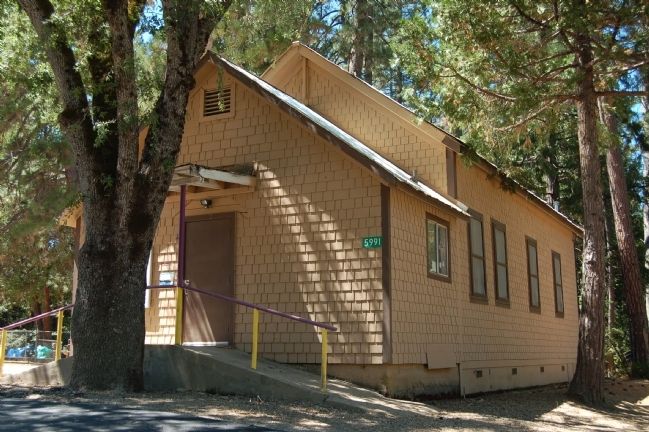
Photographed by Barry Swackhamer, August 19, 2011
5. Mt. Buckingham School
Credits. This page was last revised on June 16, 2016. It was originally submitted on September 2, 2011, by Barry Swackhamer of Brentwood, California. This page has been viewed 1,117 times since then and 24 times this year. Photos: 1, 2, 3, 4, 5. submitted on September 2, 2011, by Barry Swackhamer of Brentwood, California. • Syd Whittle was the editor who published this page.
