Central Business District in Denver in Denver County, Colorado — The American Mountains (Southwest)
Smoky Hill Trail
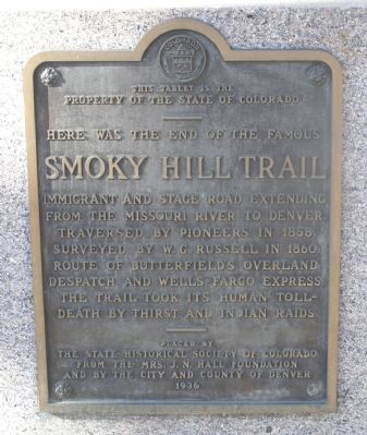
Property of the State of Colorado
——
Here was the end of the famous
Smoky Hill Trail
Immigrant and stage road extending
from the Missouri River to Denver.
Traversed by pioneers in 1858.
Surveyed by W.G. Russell in 1860.
Route of Butterfield's Overland
Despatch and Wells Fargo Express.
The trail took its human toll -
Death by thirst and Indian raids.
Erected 1936 by State Historical Society of Colorado, The Mrs. J.N. Hall Foundation, City and County of Denver. (Marker Number 40.)
Topics and series. This historical marker is listed in these topic lists: Exploration • Industry & Commerce • Roads & Vehicles • Settlements & Settlers. In addition, it is included in the Colorado - History Colorado series list. A significant historical year for this entry is 1858.
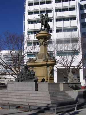
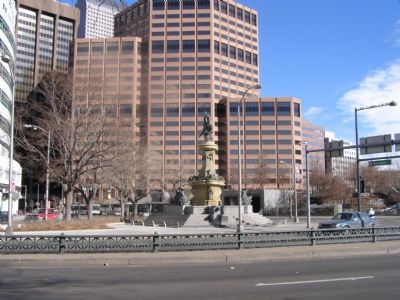
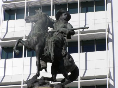
Location. 39° 44.418′ N, 104° 59.258′ W. Marker is in Denver, Colorado, in Denver County. It is in the Central Business District. Marker is at the intersection of Broadway and Colfax on Broadway. It's on the Broadway side of the monument with the Scout on horseback on top. Touch for map. Marker is in this post office area: Denver CO 80202, United States of America. Touch for directions.
Other nearby markers. At least 8 other markers are within walking distance of this marker. Passing of the Street Car (within shouting distance of this marker); In Memory of Sadie M. Likens (within shouting distance of this marker); Joe P. Martinez (about 300 feet away, measured in a direct line); In Honor of Christopher Columbus (about 400 feet away); Alfred Dach (about 600 feet away); Colorado State Veterans Memorial (about 600 feet away); Sand Creek Massacre (about 700 feet away); Colorado State Capitol Time Capsule (approx. 0.2 miles away). Touch for a list and map of all markers in Denver.
More about this marker. This is Denver's tribute to the pioneers who crossed the Great American Desert, braved the Indians & elements, and settled in the west.
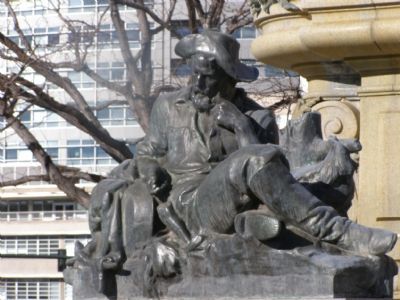
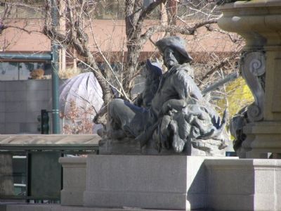
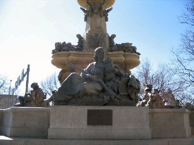
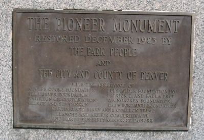
The sculpture, by Frederick William MacMonnies, is called the Pioneer Monument. It was installed in 1911 at a cost of seventy thousand dollars. Fountain was renovated in 1983.
Not readable in the photographs is the text on the state shield, beneath the frieze of ox skulls. It reads, "To the Pioneers of Colorado. Dedicated by the Citizens, 1910."
Also see . . . History of the Smoky Hill Trail & Butterfield Overland Despatch (B.O.D.). (Submitted on January 13, 2008, by Kevin W. of Stafford, Virginia.)
Credits. This page was last revised on February 7, 2023. It was originally submitted on January 11, 2008, by Christopher Light of Valparaiso, Indiana. This page has been viewed 4,728 times since then and 190 times this year. Photos: 1, 2, 3, 4, 5, 6. submitted on January 11, 2008, by Christopher Light of Valparaiso, Indiana. 7, 8. submitted on January 13, 2008, by Kevin W. of Stafford, Virginia. 9. submitted on January 11, 2008, by Christopher Light of Valparaiso, Indiana. • Kevin W. was the editor who published this page.
