Ottawa in Franklin County, Kansas — The American Midwest (Upper Plains)
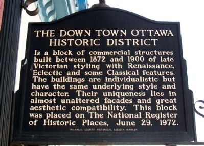
The Down Town Ottawa Historic District

Photographed By William Fischer, Jr., July 17, 2011
1. The Down Town Ottawa Historic District Marker
National Register of Historic Places Registration Form:
Internet Archive Wayback machine entry
Click for more information.
Internet Archive Wayback machine entry
Click for more information.
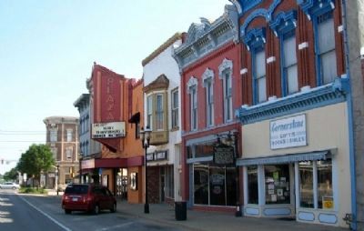
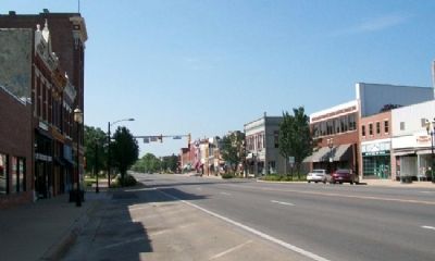
Is a block of commercial structures built between 1872 and 1900 of late Victorian styling with Renaissance, Eclectic and some Classical features. The buildings are individualistic but have the same underlying style and character. Their uniqueness lies in almost unaltered facades and great aesthetic compatibility. This block was placed on the The National Register of Historic Places, June 29, 1972.
Erected by Franklin County Historical Society.
Topics. This historical marker is listed in these topic lists: Architecture • Industry & Commerce. A significant historical date for this entry is June 29, 1888.
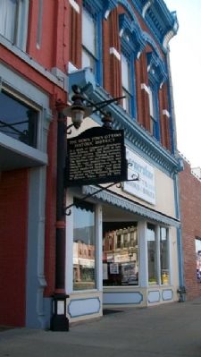
Location. 38° 36.908′ N, 95° 16.116′ W. Marker is in Ottawa, Kansas, in Franklin County. Marker is on Main Street, on the left when traveling south. Touch for map. Marker is at or near this postal address: 215-217 South Main Street, Ottawa KS 66067, United States of America. Touch for directions.
Other nearby markers. At least 8 other markers are within walking distance of this marker. Pickrell Building (a few steps from this marker); Shepherd & McQuesten Building (within shouting distance of this marker); Main Street, 200 Block South (within shouting distance of this marker); Franklin County Courthouse (about 300 feet away, measured in a direct line); a different marker also named The Franklin County Courthouse (about 600 feet away); Main Street, 400 Block South (about 800 feet away); Main Street, 500 Block South and City Park (approx. ¼ mile away); Civil War Memorial (approx. ¼ mile away). Touch for a list and map of all markers in Ottawa.
Also see . . . City of Ottawa, Kansas. City website homepage (Submitted on September 6, 2011, by William Fischer, Jr. of Scranton, Pennsylvania.)
Credits. This page was last revised on January 30, 2022. It was originally submitted on September 6, 2011, by William Fischer, Jr. of Scranton, Pennsylvania. This page has been viewed 649 times since then and 27 times this year. Photos: 1, 2, 3, 4. submitted on September 6, 2011, by William Fischer, Jr. of Scranton, Pennsylvania.


