Orange in Orange County, Virginia — The American South (Mid-Atlantic)
Town of Orange
Confederate Hardships
— Lee vs. Grant - The 1864 Campaign —
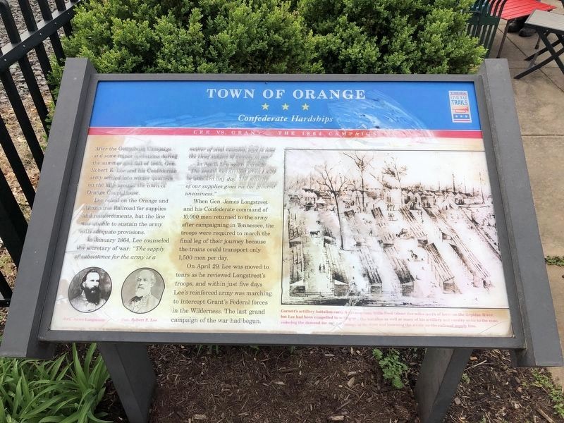
After Gettysburg and some minor operations during the summer and fall of 1863, Gen. Robert E. Lee and his Confederate army settled into winter quarters on the hills around the town of Orange Court House.
Lee relied on the Orange and Alexandria Railroad for supplies and reinforcements, but the line was unable to sustain the army with adequate provisions.
In January 1864, Lee counseled the secretary of war: "The supply of subsistence for the army is a matter of vital moment, and is now the chief subject of anxiety to me."
In April, Lee again warned, "The season has arrived when I may be attacked any day. The scarcity of our supplies gives me the greatest uneasiness."
When Gen. James Longstreet and his Confederate command of 10,000 men returned to the army after campaigning in Tennessee, the troops were required to march the final leg of their journey because the trains could transport only 1,500 men per day.
On April 28, Lee was moved to tears as he reviewed Longstreet's troops, and within just five days Lee's reinforced army was marching to intercept Grant's Federal forces in the Wilderness. The last grand campaign of the war had begun.
Erected by Virginia Civil War Trails.
Topics and series. This historical marker is listed in this topic list: War, US Civil. In addition, it is included in the Virginia Civil War Trails series list. A significant historical month for this entry is January 1864.
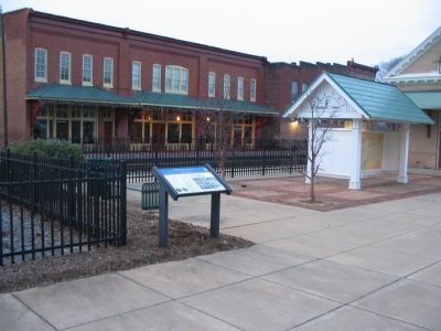
Location. 38° 14.685′ N, 78° 6.587′ W. Marker is in Orange, Virginia, in Orange County. Marker is on Short Street, on the right when traveling south. Located at the entrance to the Orange Visitors Center, which is the old train station. Touch for map. Marker is in this post office area: Orange VA 22960, United States of America. Touch for directions.
Other nearby markers. At least 8 other markers are within walking distance of this marker. Historic Downtown Orange (a few steps from this marker); Welcome to… The Town of Orange (within shouting distance of this marker); The Orange Railroad Depot (within shouting distance of this marker); Orange County Visitor Center (within shouting distance of this marker); Orange Train Station (within shouting distance of this marker); Crosthwaite Alley (about 300 feet away, measured in a direct line); Confederate Dead (about 500 feet away); General Zachary Taylor (about 500 feet away). Touch for a list and map of all markers in Orange.
More about this marker. On the lower left are portraits of Gens. Lee and Longstreet. On the right is a drawing of a Confederate camp, "Garnett's artillery battalion camp had been near Willis Ford (about

Photographed By Devry Becker Jones (CC0), April 9, 2021
2. Town of Orange Marker
Unfortunately, the marker has significantly weathered and is partially illegible.
Also see . . .
1. History of St. Thomas Church. The church boasts a rich and interesting history. (Submitted on January 13, 2008, by Craig Swain of Leesburg, Virginia.)
2. Confederate Encampments at Montpelier. This page from the nearby Montpelier historic site discusses not only the Confederate encampment on the grounds there, but also encampments around Orange county. A map details those winter camps. (Submitted on January 13, 2008, by Craig Swain of Leesburg, Virginia.)

Photographed By Craig Swain, January 5, 2008
3. Town of Orange Marker next to the Old Train Station
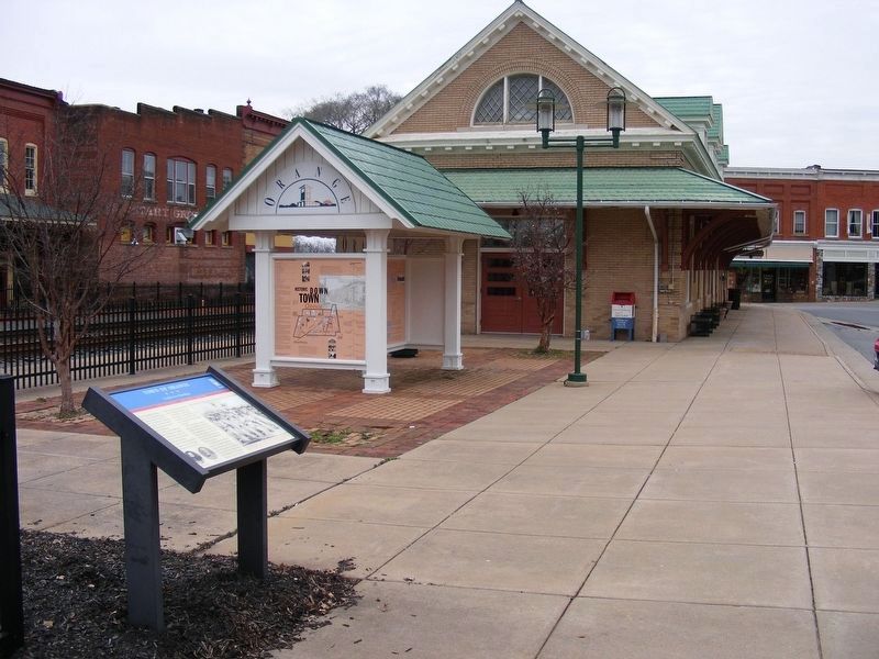
The depot here was a busy location as the terminus of the Confederate supply line. Personnel, munitions, horses, mules, and other supplies arrived here from Richmond, Charlottesville, and points south on the rail lines.
Credits. This page was last revised on April 11, 2021. It was originally submitted on January 13, 2008, by Craig Swain of Leesburg, Virginia. This page has been viewed 1,644 times since then and 39 times this year. Photos: 1. submitted on January 13, 2008, by Craig Swain of Leesburg, Virginia. 2. submitted on April 11, 2021, by Devry Becker Jones of Washington, District of Columbia. 3. submitted on January 13, 2008, by Craig Swain of Leesburg, Virginia. 4. submitted on May 2, 2017, by Pete Payette of Orange, Virginia. 5. submitted on January 13, 2008, by Craig Swain of Leesburg, Virginia.


