Governors Island in Manhattan in New York County, New York — The American Northeast (Mid-Atlantic)
Fort Jay
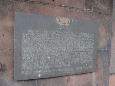
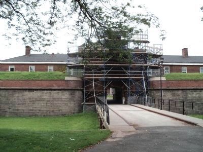
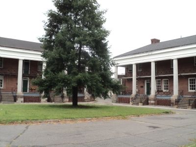
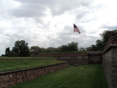
This important example of military architecture is a dramatic reminder of the early defenses erected in New York Harbor to protect the City from invasion by sea. Like so many other early fortifications in this country, its star-shaped plan was inspired by the designs of Sebastien de Vauban, the great French military architect. The fort was completed in 1798 and named after John Jay, then Secretary of Foreign Affairs. Strengthened in 1806-1808, the massive walls, bristling with a hundred guns, helped to deter the British from attacking the City during the War of 1812. Today, it is under the jurisdiction of the United States Coast Guard.
Erected 1976 by New York Community Trust.
Topics. This historical marker is listed in these topic lists: Forts and Castles • War of 1812. A significant historical year for this entry is 1798.
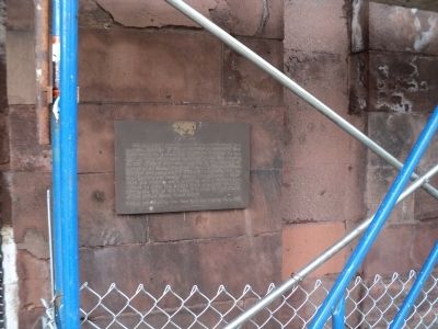
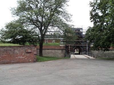
Location. 40° 41.478′ N, 74° 0.93′ W. Marker is in Manhattan, New York, in New York County. It is on Governors Island. Marker is on Quadrangle Road, on the right when traveling west. Marker is located on Governors Island, at the fort entrance. Touch for map. Marker is in this post office area: New York NY 10004, United States of America. Touch for directions.
Other nearby markers. At least 8 other markers are within walking distance of this marker. Students and Soldiers of Freedom (a few steps from this marker); a different marker also named Fort Jay (within shouting distance of this marker); The New York Arsenal (about 300 feet away, measured in a direct line); Pershing Hall (about 400 feet away); Governors Island (about 400 feet away); a different marker also named Pershing Hall (about 500 feet away); The Pershing Oak (about 600 feet away); Nolan Park (about 600 feet away). Touch for a list and map of all markers in Manhattan.
Also see . . . Fort Jay. National Park Service entry. (Submitted on September 10, 2011, by Bill Coughlin of Woodland Park, New Jersey.)
Credits. This page was last revised on January 31, 2023. It was originally submitted on September 10, 2011, by Bill Coughlin of Woodland Park, New Jersey. This page has been viewed 450 times since then and 10 times this year. Photos: 1, 2, 3, 4, 5, 6, 7, 8. submitted on September 10, 2011, by Bill Coughlin of Woodland Park, New Jersey.
