Easley in Anderson County, South Carolina — The American South (South Atlantic)
St. Paul Methodist Church
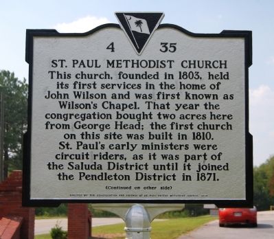
[Front]:
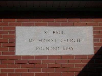
This church, founded in 1803, held its first services in the home of John Wilson and was first known as Wilson's Chapel. That year the congregation bought two acres here from George Head; the first church on this site was built in 1810. St. Paul's early ministers were circuit riders, as it was part of the Saluda District until it joined the Pendleton District in 1871.
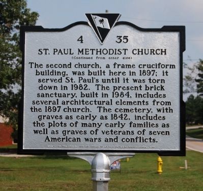
[Reverse]:
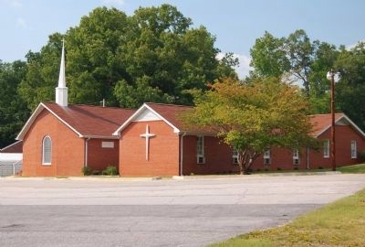
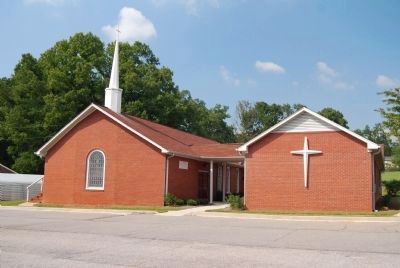
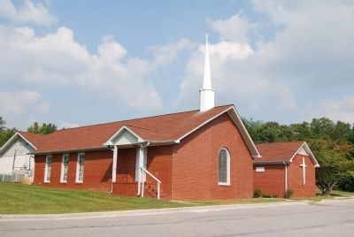
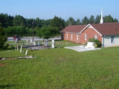
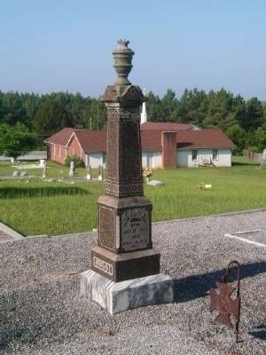
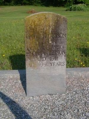
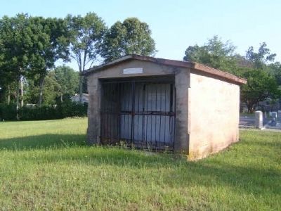
The second church, a frame cruciform building, was built here in 1897; it served St. Paul's until it was torn down in 1982. The present brick sanctuary, built in 1984, includes several architectural elements from the 1897 church. The cemetery, with graves as early as 1842, includes the plots of many early families as well as graves of veterans of seven American wars and conflicts.
Erected 2008 by St. Paul United Methodist Church Congregation and Friends. (Marker Number 4-35.)
Topics. This historical marker is listed in these topic lists: Cemeteries & Burial Sites • Churches & Religion. A significant historical year for this entry is 1803.
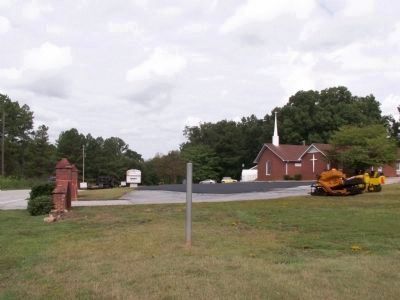
Location. Marker has been reported missing. It was located near 34° 46.717′ N, 82° 32.333′ W. Marker was in Easley, South Carolina, in Anderson County. Marker was at the intersection of Brushy Creek Road and Colonel Johnson Road, on the right when traveling west on Brushy Creek Road. Touch for map. Marker was at or near this postal address: 2513 Brushy Creek Road, Easley SC 29642, United States of America. Touch for directions.
Other nearby markers. At least 8 other markers are within 6 miles of this location, measured as the crow flies. Pickens Cemetery (approx. 4 miles away); Pickensville (approx. 4.3 miles away); Mt. Pisgah Baptist Church (approx. 4.7 miles away); Colonel Robert Elliott Holcombe (approx. 5.1 miles away); Julien D. Wyatt (approx. 5.1 miles away); Easley Veterans Memorial (approx. 5.2 miles away); Captain Kimberly Hampton (approx. 5.2 miles away); Easley, South Carolina (approx. 5.2 miles away). Touch for a list and map of all markers in Easley.
Additional commentary.
1. St. Paul United Methodist
Greenville News and Piedmont
May 13, 1978.
March 23, 1803, a hand-written deed to the land on Saint Paul Road (in Anderson County) was given to the people to start Saint Paul Methodist Church. This church was started with less than 50 members. A two-room school Saint Paul School was started in 1901, adjacent to the church. The building was later sold.
Just behind the church is a small one-room white-framed structure which was built in 1939. This building was believed to be the social hall. This building is a descendant of another building, but we have no records on what happened to it. There is only one original piece of furniture left. It is a tailor-made bench originally made for the sanctuary.
— Submitted January 12, 2009, by Brian Scott of Anderson, South Carolina.
Credits. This page was last revised on October 15, 2020. It was originally submitted on September 26, 2008, by Brian Scott of Anderson, South Carolina. This page has been viewed 1,955 times since then and 62 times this year. Last updated on September 12, 2011, by Anna Inbody of Columbia, South Carolina. Photos: 1, 2, 3, 4, 5. submitted on September 26, 2008, by Brian Scott of Anderson, South Carolina. 6. submitted on September 12, 2011, by Anna Inbody of Columbia, South Carolina. 7, 8, 9, 10, 11, 12, 13. submitted on September 26, 2008, by Brian Scott of Anderson, South Carolina. • Bill Pfingsten was the editor who published this page.
