Elizabethton in Carter County, Tennessee — The American South (East South Central)
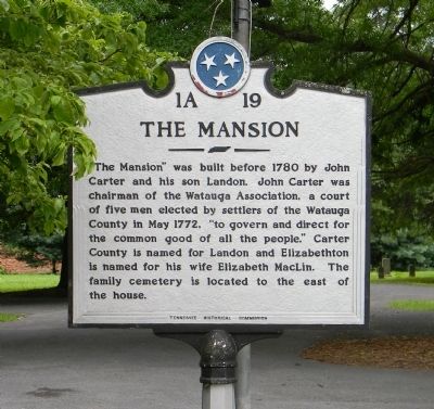
The Mansion
Photographed by Paul Crumlish, July 17, 2011
1. The Mansion Marker
Erected by Tennessee Historical Commission. (Marker Number 1A 19.)
Topics and series. This historical marker is listed in this topic list: Notable Buildings. In addition, it is included in the Tennessee Historical Commission series list. A significant historical month for this entry is May 1772.
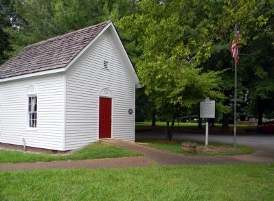
Location. 36° 21.217′ N, 82° 12.256′ W. Marker is in Elizabethton, Tennessee, in Carter County. It can be reached from Broad Street 0.1 miles east of Circle Drive, on the left when traveling east. The marker is located next to the visitors' parking lot for the John and Landon Carter Mansion. Touch for map. Marker is at or near this postal address: 1013 Broad Street, Elizabethton TN 37643, United States
this page online

Regionally, this marker is in East Tennessee and in the Tri-Cities Area. It is also in the American South, specifically in the Upper South, in Appalachia, and specifically in Southern Appalachia. Globally, it is in North America, the Western Hemisphere, the Western World, and the Anglosphere. Historically, it finds itself in what was once the original Cherokee Nation, the territory of the Mississippian Culture, one of the Confederate States of America, the State of Franklin, and the Antebellum South.
Other nearby markers. At least 8 other markers are within walking distance of this marker: Carter Family Memorial (within shouting distance of this marker); Carter County's Train History (approx. 0.4 miles away); St Thomas Episcopal Church (approx. 0.4 miles away); Samuel Powhatan Carter (approx. 0.4 miles away); Fraser Fir (approx. half a mile away); Captain Lynne Folsom House (approx. half a mile away); Wedding Chapel (approx. half a mile away); Watauga Old Fields (approx. half a mile away). Touch for a list and map of all markers in Elizabethton.
Another marker is no longer nearby.
Photographed by Paul Crumlish, July 17, 2011
2. Wide view of The Mansion Marker
Photographed by Paul Crumlish, July 17, 2011
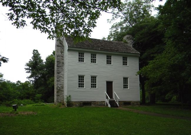
3. The John and Landon Carter Mansion (1775)
Photographed by Paul Crumlish, July 17, 2011
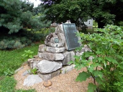
4. The founding Carter family grave stone
The grave stone, within the Carter family burial plot, commemorating the unmarked graves of John Carter (????-1781), Landon Carter (1760-1800) and Elizabeth MacLin Carter (1765-1842).
Credits. This page was last revised on September 21, 2022. It was originally submitted on September 12, 2011, by PaulwC3 of Northern, Virginia. This page has been viewed 1,303 times since then and 28 times this year. Photos: 1, 2, 3, 4. submitted on September 12, 2011, by PaulwC3 of Northern, Virginia.
