Governors Island in Manhattan in New York County, New York — The American Northeast (Mid-Atlantic)
The South Battery
Governors Island
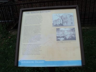
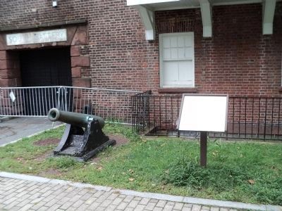
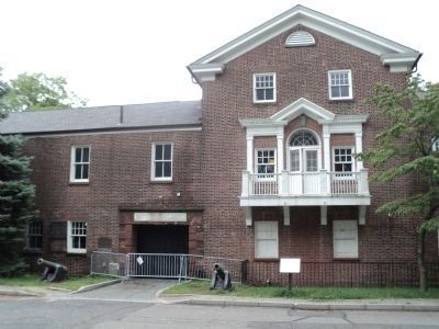
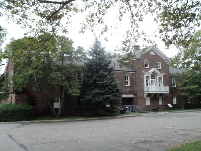
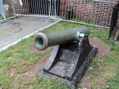
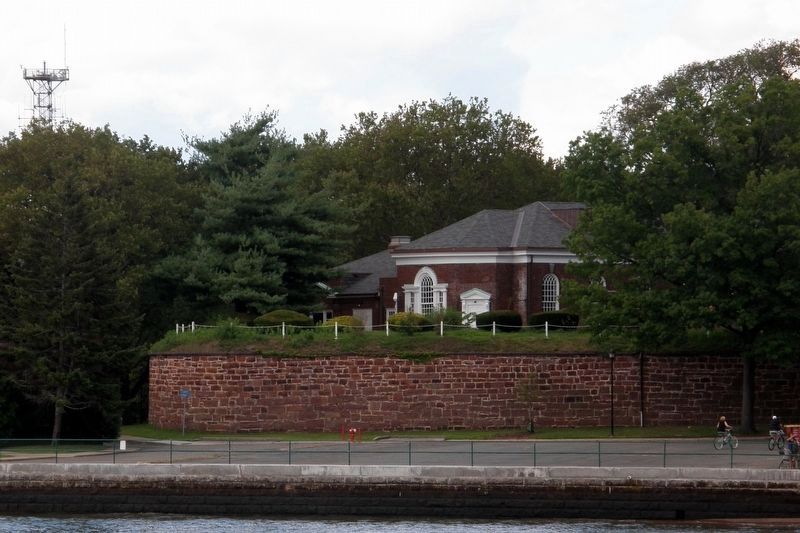
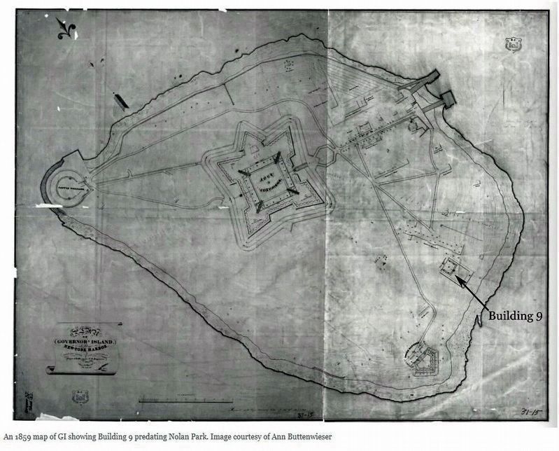
The South Battery, or Half-Moon Battery, was erected prior to the War of 1812, in concert with the construction of Castle Williams. A battery is a fortification equipped with artillery. This arrow-shaped fortification was built into the hillside overlooking Buttermilk Channel to the east of the Island. Its position provided protection against any attack through the channel from the harbor. A single story barracks was located inside.
From 1836 until 1878, the fortification became home to the Army Music School of Practice, a school for young, enlisted boys to become drummers and fife players. In 1878, the school was moved to Fort Jay, and South Battery was converted for use as an officers’ mess and Catholic chapel. In 1904, a major remodeling campaign converted the building to an amusement hall and lecture room for enlisted men. During the Great Depression, the Works Progress Administration (WPA) – a program created to provide jobs to the nation’s growing number of unemployed – rebuilt the interior of Corbin Hall, a large room on the second floor, as a dining room and ballroom.
In 1939, the building was renovated for use as the Officers’ Club. The club was created to help meet the needs of active duty officers and the large number of very high ranking, retired Army officers who settled in New York City after World War II. The South Battery continued to serve as the Officer’s Club for the Coast Guard until 1996 and was used for banquets, weddings, dances and other social functions.
Topics and series. This historical marker is listed in this topic list: Forts and Castles. In addition, it is included in the Works Progress Administration (WPA) projects series list. A significant historical year for this entry is 1812.
Location. 40° 41.284′ N, 74° 0.917′ W. Marker is in Manhattan, New York, in New York County. It is on Governors Island. Marker is on Evans Road, on the left when traveling south. Marker is located on Governors Island. Touch for map. Marker is in this post office area: New York NY 10004, United States of America. Touch for directions.
Other nearby markers. At least 8 other markers are within walking distance of this marker. A different marker also named The South Battery (a few steps from this marker); John Peter Zenger (a few steps from this marker); Maj. General Hanson E. Ely Retirement (a few steps from this marker); St. Cornelius Chapel (within shouting distance of this marker); Tower Carillon Chimes (within shouting distance of this marker); Oysters in the Harbor: A History (within shouting distance of this marker); Middens and Reefs (within shouting distance of this marker); The Buttermilk Channel and Brooklyn Waterfront (about 300 feet away, measured in a direct line). Touch for a list and map of all markers in Manhattan.
