Governors Island in Manhattan in New York County, New York — The American Northeast (Mid-Atlantic)
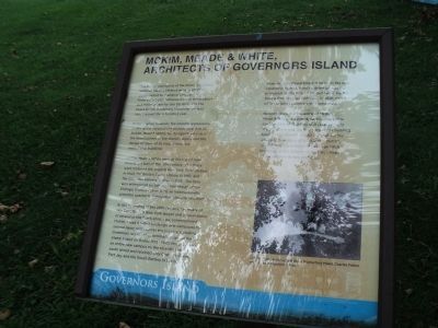
McKim, Meade & White, Architects of Governors Island
Governors Island
Inscription.
The design and layout of Governors Island National Historic District owes much of its development to changing times and roles. From early Dutch settlement to its incarnations as a military base to the US Army and the Coast Guard, Governors Island has evolved over the past three hundred years.
In many ways, however, the Island’s appearance is due to the vision of the architectural firm of McKim, Mead & White, for its significant layout and the design of many of its most distinctive institutional buildings.
McKim, Mead & White were at the top of their field at the turn of the 19th century. The firm’s work included the original New York Penn Station in 1905, the Boston Public Library in 1887, and the Columbia University Plan in 1893. The firm won widespread acclaim for their design of the Chicago World’s Fair in 1893, an internationally attended spectacle highlighting classical architecture.
At the beginning of the 20th century, Secretary of War Elihu Root, a New York lawyer and acquaintance of several of the firm’s principals, commissioned McKim, Mead & White to design new campuses for several Army posts across the country, including Governors Island. Their original design for the Island, based on Beaux Arts principles, proposed an entire new campus on the recently created south island and retained only Castle Williams, Fort Jay, and the South Battery in the north.
However, War Department interest in the new expansion waned, funding dried up and principals of the firm all passed away. By the time a final plan was adopted in 1928, much of the original scheme was abandoned.
Nevertheless, the influence of McKim, Mead & White is evident, particularly in the construction of Building 400 (Liggett Hall). The structure was the first permanent building built on the Island’s landfill and defines the southern boundary of the historic district. In addition, the balance of the large brick buildings in the historic district was inspired by the original Beaux Arts plan.
Topics. This historical marker is listed in this topic list: Man-Made Features. A significant historical year for this entry is 1905.
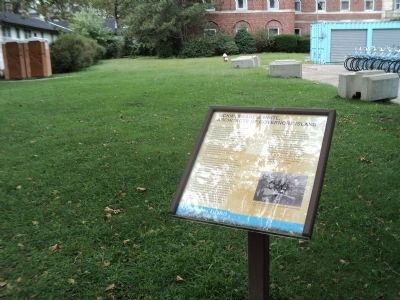
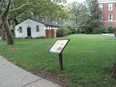
Location. 40° 41.475′ N, 74° 1.148′ W. Marker is in Manhattan, New York, in New York County. It is on Governors Island. Marker is on Wheeler Avenue, on the right when traveling south. Marker is located on Governors Island, on Wheeler Avenue between Hay Road and Clayton Road. Touch for map. Marker is in this post office area: New York NY 10004, United States of America. Touch for directions.
Other nearby markers. At least 8 other markers are within walking distance of this marker. Wheeler Avenue (within shouting distance of this marker); Castle Williams (about 500 feet away, measured in a direct line); a different marker also named Castle Williams (about 500 feet away); Purchase of Governors Island Monument (about 600 feet away); Slate Roofs on Colonels Row (about 600 feet away); Governors Island (about 600 feet away); Liggett Hall (about 600 feet away); Early North American Colonist Remains (about 600 feet away). Touch for a list and map of all markers in Manhattan.
More about this marker. A photograph of Architects William Rutherford Mead, Charles Follen McKim and Stanford White appears at the bottom right of the marker.
Also see . . .
1. The Trust for Governors Island. Website homepage (Submitted on September 15, 2011, by Bill Coughlin of Woodland Park, New Jersey.)
2. Governors Island National Monument. National Park Service website. (Submitted on September 15, 2011, by Bill Coughlin of Woodland Park, New Jersey.)
Credits. This page was last revised on February 19, 2024. It was originally submitted on September 15, 2011, by Bill Coughlin of Woodland Park, New Jersey. This page has been viewed 551 times since then and 18 times this year. Photos: 1, 2, 3. submitted on September 15, 2011, by Bill Coughlin of Woodland Park, New Jersey.


