Near Aurora in Preston County, West Virginia — The American South (Appalachia)
Old Stone Tavern
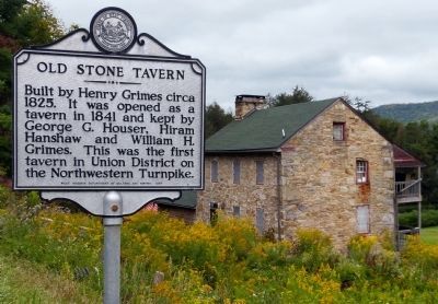
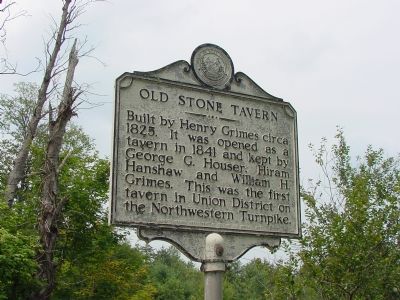
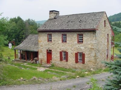
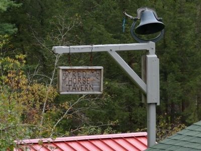
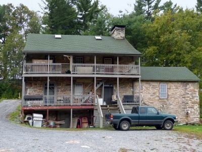
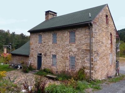
Built by Henry Grimes circa 1825. It was opened as a tavern in 1841 and kept by George G. Houser, Hiram Hanshaw and William H. Grimes. This was the first tavern in Union District on the Northwestern Turnpike.
Erected 1987 by West Virginia Department of Culture and History.
Topics and series. This historical marker is listed in these topic lists: Notable Buildings • Roads & Vehicles. In addition, it is included in the West Virginia Archives and History series list. A significant historical year for this entry is 1825.
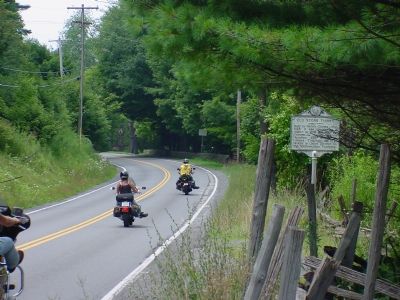
Location. 39° 19.584′ N, 79° 31.916′ W. Marker is near Aurora, West Virginia, in Preston County. Marker is on George Washington Highway (U.S. 50) west of West Virginia Route 24, on the right when traveling west. Touch for map. Marker is in this post office area: Aurora WV 26705, United States of America. Touch for directions.
Other nearby markers. At least 5 other markers are within 3 miles of this marker, measured as the crow flies. Gantz Sand (approx. 1.3 miles away); Aurora (approx. 1˝ miles away); Veterans Memorial (approx. 1˝ miles away); Flag Raising (approx. 1.8 miles away); Preston County / Maryland (approx. 2˝ miles away). Touch for a list and map of all markers in Aurora.
Also see . . .
1. Brookside Inn, The Red Horse Tavern, The Old Stone House. West Virginia Department of Arts, Culture and History website entry
National Register of Historic Places Nomination Form (Submitted on September 27, 2013, by Allen C. Browne of Silver Spring, Maryland.)
2. Northwestern Turnpike. Wikipedia article. (Submitted on August 9, 2006.)
Credits. This page was last revised on October 28, 2023. It was originally submitted on August 9, 2006, by J. J. Prats of Powell, Ohio. This page has been viewed 3,151 times since then and 80 times this year. Photos: 1. submitted on September 27, 2013, by Allen C. Browne of Silver Spring, Maryland. 2, 3, 4. submitted on August 9, 2006, by J. J. Prats of Powell, Ohio. 5, 6, 7. submitted on September 27, 2013, by Allen C. Browne of Silver Spring, Maryland.
