Perdue Hill in Monroe County, Alabama — The American South (East South Central)
Perdue Hill Industrial School
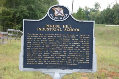
Photographed by TRCP Alliance, September 25, 2011
1. Perdue Hill Industrial School Marker
Erected 1996 by Alabama Historical Association.
Topics and series. This historical marker is listed in these topic lists: African Americans • Education. In addition, it is included in the Alabama Historical Association series list. A significant historical year for this entry is 1918.
Location. 31° 31.514′ N,
this page online

Regionally, this marker is in the American South and specifically in the Deep South. Globally, it is in North America, a Gulf of Mexico state, the Western Hemisphere, the Western World, and the Anglosphere. Historically, it finds itself in what was once New Spain, the territory of the Mississippian Culture, one of the Confederate States of America, and the Antebellum South.
Other nearby markers. At least 8 other markers are within 7 miles of this marker, measured as the crow flies: William B. Travis House (approx. 0.6 miles away); Masonic Lodge No. 3 (approx. 0.7 miles away); Lafayette's Tour (approx. 0.7 miles away); Fort Claiborne (approx. 1.3 miles away); Claiborne (approx. 1½ miles away); Piache (approx. 1½ miles away); Dellet-Bedsole Plantation (approx. 3.1 miles away); John Murphy (approx. 6.7 miles away). Touch for a list and map
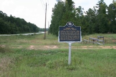
Photographed by TRCP Alliance, September 25, 2011
2. Perdue Hill Industrial School Marker
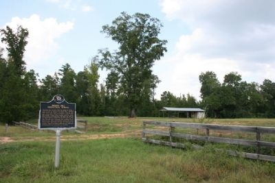
Photographed by TRCP Alliance, September 25, 2011
3. Perdue Hill Industrial School Marker and Site
Credits. This page was last revised on June 16, 2016. It was originally submitted on September 26, 2011, by Timothy Carr of Birmingham, Alabama. This page has been viewed 1,614 times since then and 52 times this year. Photos: 1, 2, 3. submitted on September 26, 2011, by Timothy Carr of Birmingham, Alabama. • Bill Pfingsten was the editor who published this page.
