
The Loop District in Chicago in Cook County, Illinois — The American Midwest (Great Lakes)
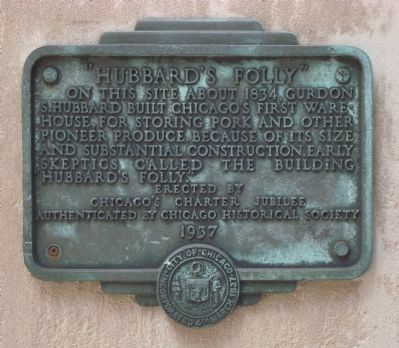
“Hubbard’s Folly”
Photographed by Barry Swackhamer, August 29, 2011
1. “Hubbard’s Folly” Marker
Erected 1937 by Chicago’s Charter Jubilee.
Topics and series. This historical marker is listed in these topic lists: Industry & Commerce • Settlements & Settlers. In addition, it is included in the Chicago's Charter Jubilee series list. A significant historical year for this entry is 1834.
Location. 41° 53.222′ N, 87° 37.936′ W. Marker is in Chicago, Illinois, in Cook County. It is in The Loop District. It is at the intersection of West Wacker Drive and North LaSalle Street on West Wacker Drive. Marker is located on the Chicago Riverwalk. Touch for map. Marker is at or near this postal address: 144 West Wacker Drive, Chicago IL 60601, United States of America. Touch for directions.

Regionally, this marker is in the American Midwest and on the Great Lakes. Globally, it is in North America, the Western Hemisphere, the Western World, and the Anglosphere. Historically, it finds itself in what
this page online
Other nearby markers. At least 8 other markers are within walking distance of this marker: The Eastland Disaster (here, next to this marker); The Christmas Tree Ship (about 300 feet away, measured in a direct line); Reid, Murdoch & Company Building (about 400 feet away); Trustees System Service Building (about 600 feet away); The Reversal of the Chicago River (about 600 feet away); 25,000th Convenience Store (about 600 feet away); Chicago Bridges (about 700 feet away); James C. "Jim" Tyree (about 700 feet away). Touch for a list and map of all markers in Chicago.
Photographed by Barry Swackhamer, August 29, 2011
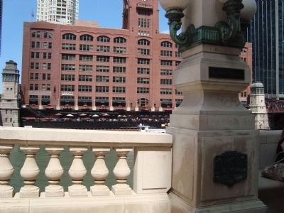
2. “Hubbard’s Folly” Marker
August 28, 2021
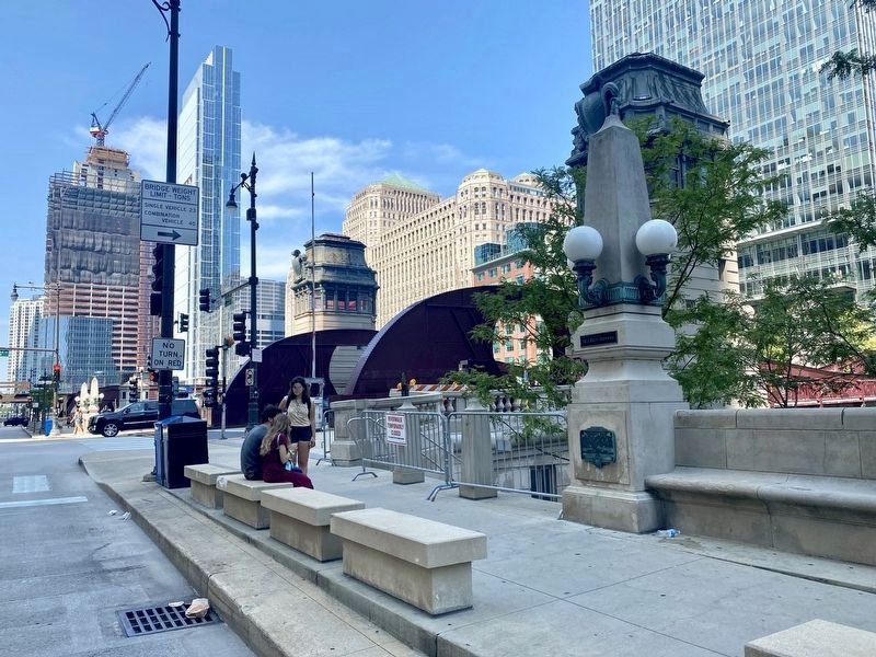
3. “Hubbard’s Folly” Marker - wide view
Credits. This page was last revised on January 30, 2023. It was originally submitted on September 29, 2011, by Barry Swackhamer of Brentwood, California. This page has been viewed 1,832 times since then and 75 times this year. Photos: 1, 2. submitted on September 29, 2011, by Barry Swackhamer of Brentwood, California. 3. submitted on September 7, 2021. • Syd Whittle was the editor who published this page.
