Troy in Doniphan County, Kansas — The American Midwest (Upper Plains)
Melvin L. Schmidt, J.D.
Photographed by William Fischer, Jr., May 29, 2011
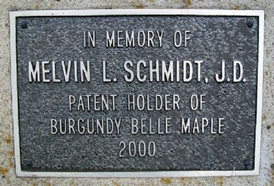
1. Melvin L. Schmidt, J.D. Marker
Melvin L. Schmidt, J.D.
Patent Holder of
Burgundy Belle Maple
2000
Topics. This historical marker is listed in this topic list: Horticulture & Forestry. A significant historical year for this entry is 2000.
Location. 39° 47.148′ N, 95° 5.357′ W. Marker is in Troy, Kansas, in Doniphan County. It is at the intersection of Chestnut Street and Main Street, on the left when traveling east on Chestnut Street. Marker is on the south grounds of the county courthouse. Touch for map. Marker is at or near this postal address: 120 East Chestnut Street, Troy KS 66087, United States of America. Touch for directions.

Regionally, this marker is in Eastern Kansas. It is also in the American Midwest, in the Lewis & Clark Corridor, in the Corn Belt, on the prairies, and on the Southern Plains. Globally, it is in North America, the Western Hemisphere, the Western World, and the Anglosphere. Historically, it finds itself in what was once the Louisiana Purchase.
Other nearby markers. At least 8 other markers are within walking distance of this marker: Replica of the Statue of Liberty (a few steps from this marker);
this page online
Photographed by William Fischer, Jr., May 29, 2011
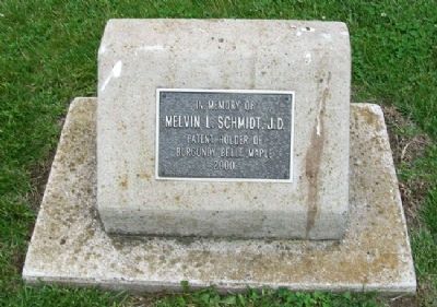
2. Melvin L. Schmidt, J.D. Marker
Photographed by William Fischer, Jr., May 29, 2011
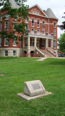
3. Melvin L. Schmidt, J.D. Marker
County courthouse in background
Photographed by Mark Parker, October 14, 2023
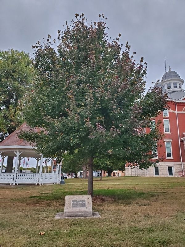
4. Melvin L. Schmidt, J.D. Marker in front of a Burgundy Belle Maple tree
Credits. This page was last revised on August 23, 2024. It was originally submitted on September 29, 2011, by William Fischer, Jr. of Reynoldsburg, Ohio. This page has been viewed 651 times since then and 19 times this year. Photos: 1, 2, 3. submitted on September 29, 2011, by William Fischer, Jr. of Reynoldsburg, Ohio. 4. submitted on August 22, 2024, by Mark Parker of Hickory, North Carolina.
