Pioneer Square in Seattle in King County, Washington — The American West (Northwest)
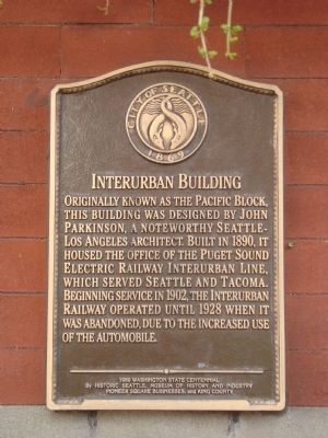
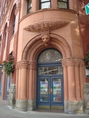
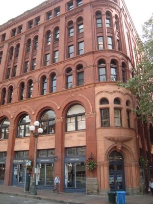
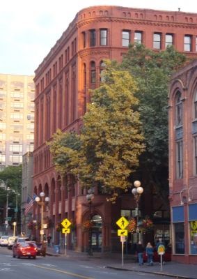
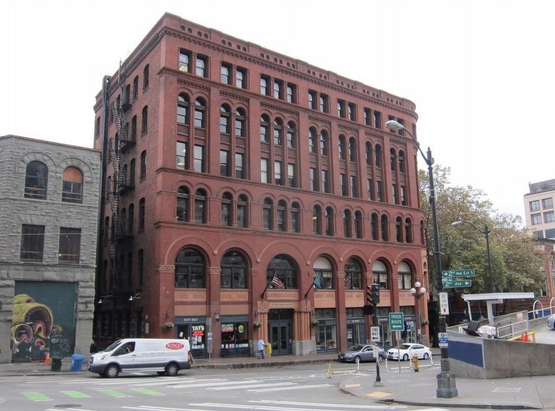
Interurban Building
Erected 1989 by Historic Seattle Museum of History and Industry, Pioneer Square Businesses, and King County.
Topics. This historical marker is listed in these topic lists: Notable Buildings • Railroads & Streetcars. A significant historical year for this entry is 1890.
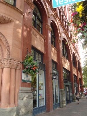
Location. 47° 36.097′ N, 122° 19.961′ W. Marker is in Seattle, Washington, in King County. It is in Pioneer Square. Marker is on Yesler Way, on the right when traveling east. The building is located at the intersection of Yesler Way and Occidental Way. The marker faces Yesler Way. Touch for map. Marker is at or near this postal address: 157 Yesler Way, Seattle WA 98104, United States of America. Touch for directions.
Other nearby markers. At least 8 other markers are within walking distance of this marker. A different marker also named Interurban Building (a few steps from this marker); Smith Tower (within shouting distance of this marker); Merchant’s Cafe (within shouting distance of this marker); Pioneer Building (about 300 feet away, measured in a direct line); The Pioneer Square Pergola (about 300 feet away); Salvation Army Site (about 300 feet away); Mutual Life Building (about 400 feet away); What do you need to rush for gold? (about 400 feet away). Touch for a list and map of all markers in Seattle.
Also see . . . Department of Neighborhoods - Interurban Building. (Submitted on October 9, 2011, by Barry Swackhamer of Brentwood, California.)
Credits. This page was last revised on February 7, 2023. It was originally submitted on October 9, 2011, by Barry Swackhamer of Brentwood, California. This page has been viewed 816 times since then and 41 times this year. Photos: 1, 2, 3, 4, 5. submitted on October 9, 2011, by Barry Swackhamer of Brentwood, California. 6. submitted on June 28, 2019. • Syd Whittle was the editor who published this page.
