Watertown in Middlesex County, Massachusetts — The American Northeast (New England)
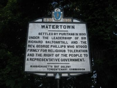
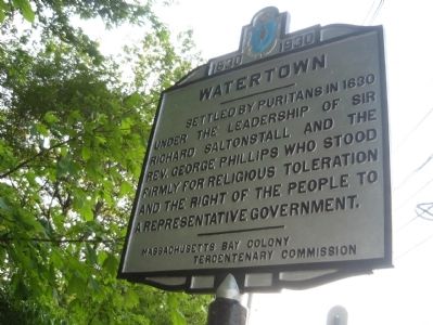
Watertown
1630 - 1930
Erected 1930 by Massachusetts Bay Colony Tercentenary Commission.
Topics and series. This historical marker is listed in these topic lists: Colonial Era • Exploration • Government & Politics • Settlements & Settlers. In addition, it is included in the Massachusetts Bay Colony—Tercentenary Commission Markers series list. A significant historical year for this entry is 1630.
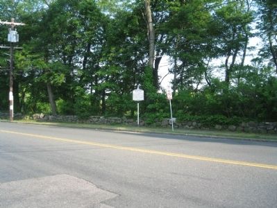
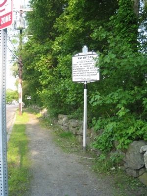
Location. 42° 22.418′ N, 71° 12.452′ W. Marker is in Watertown, Massachusetts, in Middlesex County. Marker is on Main Street (Massachusetts Route 20), on the right when traveling east. The marker is adjacent to the Gore Place property, across from the end of Longfellow Road. Touch for map. Marker is at or near this postal address: across from 719 Main Street, Watertown MA 02472, United States of America. Touch for directions.
Other nearby markers. At least 8 other markers are within 2 miles of this marker, measured as the crow flies. Grove Hill Cemetery (approx. 0.7 miles away); a different marker also named Watertown (approx. 1.3 miles away); Waltham Revolutionary War Memorial (approx. 1.4 miles away); Waltham Soldiers and Sailors Monument (approx. 1.4 miles away); A Quincentennial Commemorative to Christopher Columbus (approx. 1˝ miles away); Waltham Spanish-American War Monument (approx. 1˝ miles away); Veteran's Memorial Mall (approx. 1˝ miles away); Nathaniel P Banks (approx. 1˝ miles away).
Also see . . . Watertown, MA website. (Submitted on June 1, 2011, by Bill Pfingsten of Bel Air, Maryland.)
Credits. This page was last revised on June 16, 2016. It was originally submitted on May 31, 2011, by David Russo of Watertown, Mass.. This page has been viewed 712 times since then and 28 times this year. Last updated on October 9, 2011, by Michael Tiernan of Danvers, Massachusetts. Photos: 1, 2, 3, 4. submitted on May 31, 2011, by David Russo of Watertown, Mass.. • Bill Pfingsten was the editor who published this page.


