Near Camden in Kershaw County, South Carolina — The American South (South Atlantic)
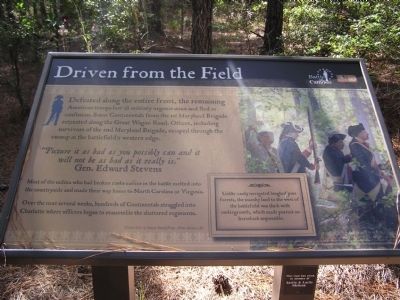
Driven from the Field
“Picture it as bad as you possibly can and it will not be as bad as it really is.” Gen. Edward Stevens
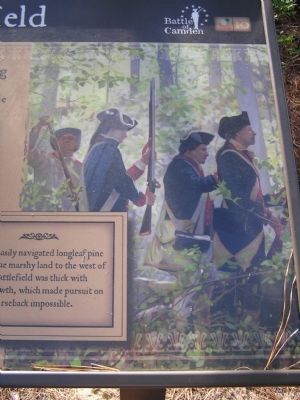
Most of the militia who had broken ranks earlier in the battle melted into the countryside and made their way home to North Carolina or Virginia.
Over the next several weeks, hundreds of Continentals straggled into Charlotte where officers began to reassemble the shattered regiments.
Erected by The Palmetto Conservation Foundation. (Marker Number 10.)
Topics. This historical marker is listed in this topic list: War, US Revolutionary.
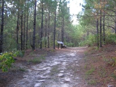
Location. 34° 21.357′ N, 80° 36.699′ W. Marker is near Camden, South Carolina, in Kershaw County. Marker can be reached from Flat Rock Road (State Highway 58). 6.2 miles North of Camden off US 521 and 601 on SC 58. Touch for map. Marker is in this post office area: Camden SC 29020, United States of America. Touch for directions.
Other nearby markers. At least 8 other markers are within walking distance of this marker . Defeat in the Center (about 500 feet away, measured in a direct line); Revolutionary War Patriots (about 700 feet away in South carolina); Battle of Camden (about 700 feet away); The Road to Battle (about 700 feet away); Pursued Beyond the Battlefield (about 700 feet away); Baron DeKalb (about 700 feet away); The Armies March to Camden (about 800 feet away); Contest with the Continentals (about 800 feet away). Touch for a list and map of all markers in Camden.
More about this marker. This marker is part of an interpretive trail series at the Battle of Camden National Historic Landmark.
Credits. This page was last revised on June 16, 2016. It was originally submitted on October 9, 2011, by Anna Inbody of Columbia, South Carolina. This page has been viewed 527 times since then and 12 times this year. Photos: 1, 2, 3, 4. submitted on October 9, 2011, by Anna Inbody of Columbia, South Carolina. • Craig Swain was the editor who published this page.


