Tiverton in Newport County, Rhode Island — The American Northeast (New England)
Fort Barton
Photographed by Bill Coughlin, October 8, 2011
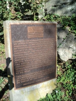
1. Fort Barton Marker
Through the unrelenting efforts of Dr. James W. Holt, Jr. Fort Barton was preserved. It was given to the town of Tiverton by the Newport Historical Society in 1968. In 1777 the site was fortified by the colonial army to defend against British troops then occupying Aquidneck Island, and from here was launched an ill-fated invasion in 1778, which came to be known as the Battle of Rhode Island. The restoration of the redoubt and the development of adjacent woodland trails was planned and implemented by Dr. Holt.
This plaque not only honors this site as a historic monument, but honors Dr. Holt’s efforts and achievements on behalf of the town.
Dedicated August 18, 2001
Erected 2001.
Topics. This historical marker is listed in this topic list: War, US Revolutionary. A significant historical year for this entry is 1968.
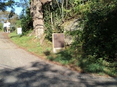
Location. 41° 37.535′ N, 71° 12.46′ W. Marker is in Tiverton, Rhode Island, in Newport County. It is at the intersection of Highland Road and Lawton Avenue, on the left when traveling south on Highland Road. Marker is located on a walking trail at Fort Barton, across the street from Tiverton Town Hall. Touch for map.
this page online

Regionally, this marker is on Narragansett Bay. It is also in the American Northeast, in New England, and on the Eastern Seaboard. Globally, it is in the North Atlantic Region, North America, the Western Hemisphere, the Western World, and the Anglosphere. Historically, it finds itself in what was once one of the original Thirteen Colonies.
Other nearby markers. At least 8 other markers are within 3 miles of this marker, measured as the crow flies: Fort Barton Redoubt (within shouting distance of this marker); General Lafayette (within shouting distance of this marker); a different marker also named Fort Barton (within shouting distance of this marker); Holt’s Trail (about 300 feet away, measured in a direct line); Portsmouth Compact (approx. 2 miles away); Anne Hutchinson/Mary Dyer Memorial Herb Garden (approx. 2 miles away); Sri Chinmoy Peace Town (approx. 2 miles away); Butts Hill Fort (approx. 2.3 miles away). Touch for a list and map of all markers in Tiverton.
More about this marker. The marker is a bronze plaque
Photographed by Bill Coughlin, October 8, 2011
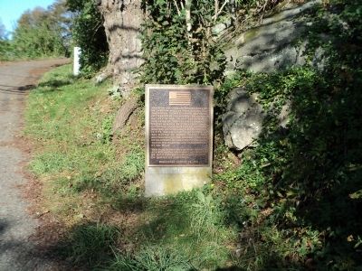
2. Fort Barton Marker
Also see . . . The Battle of Rhode Island. (Submitted on October 12, 2011, by Bill Coughlin of Woodland Park, New Jersey.)
Photographed by Bill Coughlin, October 8, 2011
3. Marker on the Fort Barton Trail
Photographed by Bill Coughlin, October 8, 2011
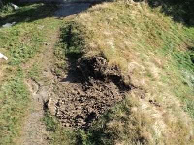
4. Fort Barton Redoubts
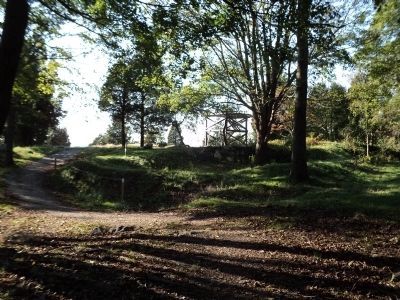
Photographed by Bill Coughlin, October 8, 2011
5. Fort Barton
The fortifications of Fort Barton and an observation tower can be seen in this photo.
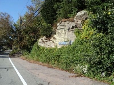
Photographed by Bill Coughlin, October 8, 2011
6. Fort Barton
Fort Barton is seen here from the road. the trail where the marker is located begins at the left of the photo.
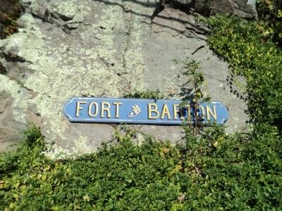
Photographed by Bill Coughlin, October 8, 2011
7. Fort Barton
Credits. This page was last revised on February 8, 2023. It was originally submitted on October 12, 2011, by Bill Coughlin of Woodland Park, New Jersey. This page has been viewed 1,292 times since then and 39 times this year. Photos: 1, 2, 3, 4, 5, 6, 7. submitted on October 12, 2011, by Bill Coughlin of Woodland Park, New Jersey.
