Fort Gaines in Clay County, Georgia — The American South (South Atlantic)
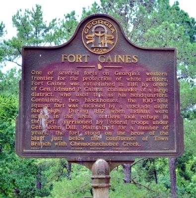
Fort Gaines
Erected 1957 by Georgia Historical Commission. (Marker Number 030-6.)
Topics and series. This historical marker is listed in these topic lists: Forts and Castles • Wars, US Indian. In addition, it is included in the Georgia Historical Society series list. A significant historical year for this entry is 1816.
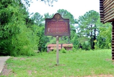
Location. 31° 36.314′ N, 85° 3.282′ W. Marker is in Fort Gaines, Georgia, in Clay County. Marker can be reached from Extension of Bluff Street, 0.1 miles south of Carroll Street. The marker is located on an unnamed road from Bluff Street to the Frontier Village. Touch for map. Marker is in this post office area: Fort Gaines GA 39851, United States of America. Touch for directions.
Other nearby markers. At least 8 other markers are within walking distance of this marker. The 1836 Fort (about 300 feet away, measured in a direct line); In the Confederacy (about 300 feet away); The Old Lattice Bridge (about 400 feet away); Old Pioneer Cemetery (about 700 feet away); Site of the First Clay County Courthouse and Jail (approx. ¼ mile away); Chattahoochee River Crossing (approx. 0.3 miles away in Alabama); Franklin - First Beachhead into East Alabama (approx. 0.3 miles away in Alabama); Fort Gaines Guards (approx. 0.3 miles away). Touch for a list and map of all markers in Fort Gaines.
Photographed By David Seibert, August 14, 2011
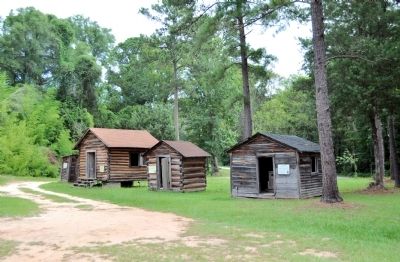
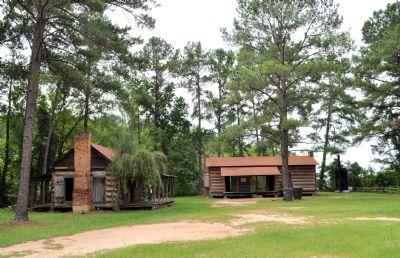
4. Fort Gaines Frontier Village
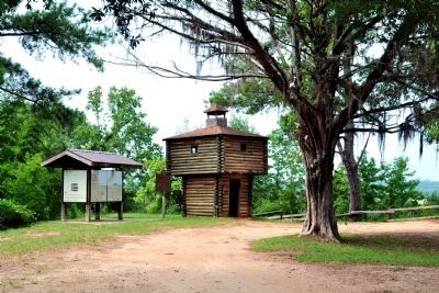
The marker stands in the Fort Gaines Frontier Village, made up of old buildings moved from throughout the county to the area of the orginal fort. Visible are the Ingram House (left) and the Newt Engram House, both moved from east of Fort Gaines.
Credits. This page was last revised on May 4, 2020. It was originally submitted on October 14, 2011, by David Seibert of Sandy Springs, Georgia. This page has been viewed 1,024 times since then and 48 times this year. Photos: 1, 2, 3, 4, 5. submitted on October 14, 2011, by David Seibert of Sandy Springs, Georgia. • Craig Swain was the editor who published this page.
