Newport in Newport County, Rhode Island — The American Northeast (New England)
Portuguese Navigators: Pioneers in Maritime Exploration
Photographed by Bill Coughlin, October 8, 2011
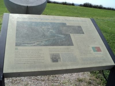
1. Portuguese Navigators: Pioneers in Maritime Exploration Marker
The monument before you honors the Portuguese navigators of the Golden Age of Maritime Exploration, which spanned from the early 1400’s to the late 1500’s. During this era, Portugal was the forerunner in maritime exploration – both coasts of the United States were discovered and colonized by the Portuguese. Bretton Point was chosen as the site for this monument because it is very reminiscent of Sagres, the point in southern Portugal where Prince Henry founded his School of Navigation in 1419. It was here that the maritime era emanated from the minds of the foremost scholars in mathematics, astronomy, cartography, and those that were experts regarding the compass, the astrolabe, water currents and the wind.
There are eighteen elements in the Portuguese Navigators Monument. The sixteen elements placed in a semicircle are an abstraction of the circular compass base at Sagres, which is all that remains of Prince Henry’s School of Navigation today. The elements are placed in a three-quarter sphere, which symbolizes the three-quarters of the world discovered by the Portuguese navigators in the fifteenth century. The large multifaceted
this page online
This monument is a gift from Portugal to the State of Rhode Island. It was inaugurated by the President of Portugal Dr. Mario Soares and the Governor of Rhode Island Edward DiPrete on June 28, 1989.
Erected by Rhode Island State Parks.
Topics. This historical marker is listed in this topic list: Exploration. A significant historical date for this entry is June 28, 1989.
Location. 41° 26.994′ N, 71° 21.299′ W. Marker is in Newport, Rhode Island, in Newport County. It is on Ocean Drive, on the left when traveling south. Marker is located in Brenton Point State Park. Touch for map. Marker is in this post office area: Newport RI 02840, United States of America. Touch for directions.

Regionally, this marker is on Narragansett Bay and
Photographed by Bill Coughlin, October 8, 2011
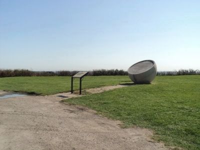
2. Portuguese Navigators Marker
The three-quarter sphere that is the Portuguese Navigators Monument can be seen here next to the marker.
Other nearby markers. At least 8 other markers are within walking distance of this marker: Portuguese Navigators Monument (here, next to this marker); S/V Marques (within shouting distance of this marker); RI Pilots of Brenton Reef Pilot Station (within shouting distance of this marker); Brenton Point Maritime Memorial (within shouting distance of this marker); EgyptAir Flight 990 Memorial (within shouting distance of this marker); The Rocky Shore (about 300 feet away, measured in a direct line); Brenton Point State Park (about 600 feet away); Missing at Sea May 7, 2007 (approx. 0.2 miles away). Touch for a list and map of all markers in Newport.
More about this marker. A picture of a Portuguese ship appears at the bottom of the marker. It has a caption of “The most important practical accomplishment
Photographed by Bill Coughlin, October 8, 2011
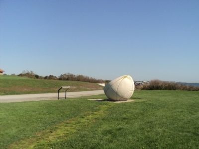
3. Portuguese Navigators: Pioneers in Maritime Exploration Marker
Photographed by Bill Coughlin, October 8, 2011
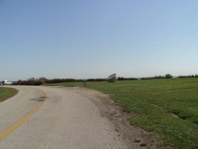
4. Marker in Brenton Point State Park
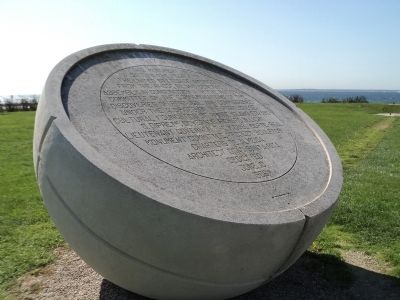
Photographed by Bill Coughlin, October 8, 2011
5. Portuguese Navigators Monument
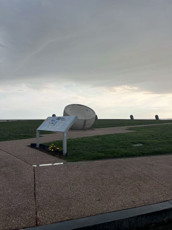
Photographed by Adam Margolis, September 14, 2025
6. Portuguese Navigators: Pioneers in Maritime Exploration Marker
Credits. This page was last revised on September 22, 2026. It was originally submitted on October 16, 2011, by Bill Coughlin of Woodland Park, New Jersey. This page has been viewed 1,512 times since then and 61 times this year. Photos: 1, 2, 3, 4, 5. submitted on October 16, 2011, by Bill Coughlin of Woodland Park, New Jersey. 6. submitted on November 20, 2025, by Adam Margolis of Mission Viejo, California.
