Rosendale in Fond du Lac County, Wisconsin — The American Midwest (Great Lakes)
Sisson’s Peony Gardens
Photographed by Paul Fehrenbach, October 5, 2011
1. Sisson’s Peony Gardens Marker
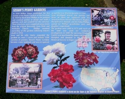
Jesse and his wife, Marie, expanded the gardens to cover 5 acres and include 2500 varieties of peonies. Sisson’s Peony Gardens became a state landmark and was recognized as such by Gov. Warren Knowles in 1968.
Jesse developed several new peonies and three of them are registered with the American Peony Society: the Owen F. Hughes, the Kathryn E. Manuel, and the Tinka Phillips, named for Phillips’ grandfather, aunt, and daughter respectively.
The gardens were sold in 1979 and much of the land was used for residential development. In 2005 the surviving Windmill Garden was purchased by James and Emejean Westphal and donated to the Rosendale Historical Society to begin restoration.
Topics and series. This historical
this page online
Location. 43° 48.567′ N, 88° 40.514′ W. Marker is in Rosendale, Wisconsin, in Fond du Lac County. It is on North Main Street (State Highway 26) 0.1 miles north of Wisconsin Street, on the right when traveling south. Touch for map. Marker is in this post office area: Rosendale WI 54974, United States of America. Touch for directions.

Regionally, this marker is in Wisconsin’s Fox River Valley. It is also in the American Midwest and in the Corn Belt. Globally, it is in North America, the Western Hemisphere, the Western World, and the Anglosphere. Historically, it finds itself in what was once the territory of the Mississippian Culture and also the Northwest Territory.
Other nearby markers. At least 8 other markers are within 9 miles of this marker, measured as the crow flies: The Raube Road Site (approx. 6.2 miles away); First Baptist Church of Ripon (approx. 8.4 miles away); Birthplace of the Republican Party (approx. 8.4 miles away); 126 E. Jackson Street
Photographed by Paul Fehrenbach, October 5, 2011
2. Sisson’s Peony Gardens Marker
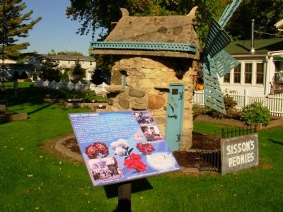
marker and windmill
Another marker is no longer nearby. 401 Watson Street (was approx. 8½ miles away but has been replaced with another marker now near it).

Photographed by Paul Fehrenbach, October 5, 2011
3. Sisson’s Peony Gardens Stone Gateway
Photographed by Paul Fehrenbach, October 5, 2011
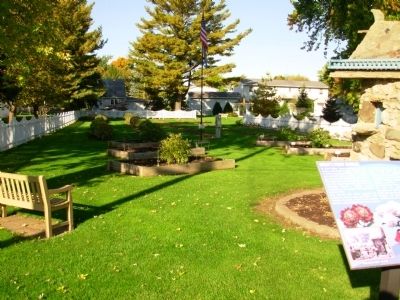
4. Sisson’s Peony Gardens
Photographed by Paul Fehrenbach, October 5, 2011
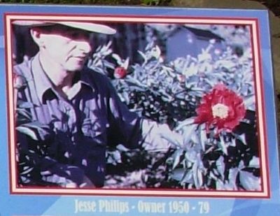
5. Jesse Phillips
photo in upper right hand corner

Photographed by Paul Fehrenbach, October 5, 2011
6. Tinka Phillips
photo from upper right hand corner
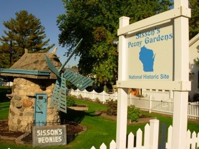
Photographed by Paul Fehrenbach, October 5, 2011
7. Sisson’s Peony Gardens Marker
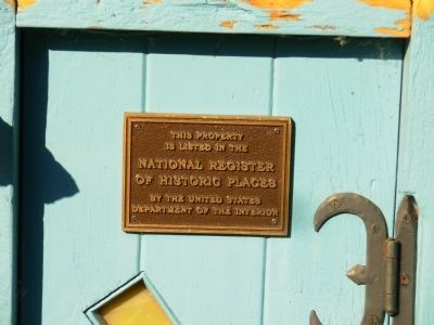
Photographed by Paul Fehrenbach, October 5, 2011
8. National Register Plaque on Windmill
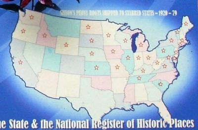
Photographed by Paul Fehrenbach, October 5, 2011
9. Map from lower right hand corner
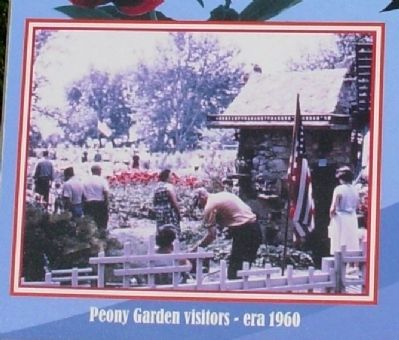
Photographed by Paul Fehrenbach, October 5, 2011
10. Clsoe up from lower left hand corner
Credits. This page was last revised on June 16, 2016. It was originally submitted on October 17, 2011, by Paul Fehrenbach of Richfield, Wisconsin. This page has been viewed 1,211 times since then and 25 times this year. Photos: 1, 2, 3, 4, 5, 6, 7, 8, 9, 10. submitted on October 17, 2011, by Paul Fehrenbach of Richfield, Wisconsin. • Bernard Fisher was the editor who published this page.
