Tombstone in Cochise County, Arizona — The American Mountains (Southwest)
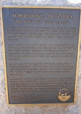
Tombstone, Arizona
"The Town Too Tough To Die"
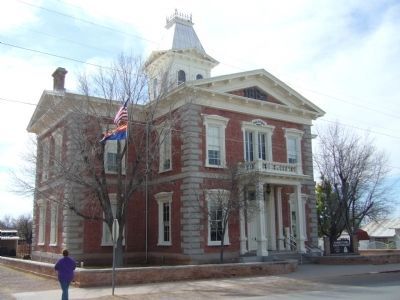
This brought not only miners and businessmen, but gamblers, prostitutes and gunmen to the new town. The most famous gunfight in western history occurred at the OK Corral, October 26, 1881, when the Earps shot it out with the Clantons and the McLaurys.
In 1882 the mines flooded and huge steam pumps were installed. A fire in 1886 destroyed the pumps and operations ceased. In 1901 the mines reopened but boiler problems and flooding again closed the mines.
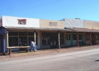
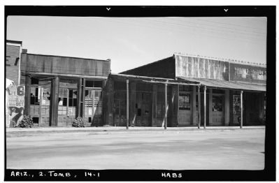
In 1929 the county seat moved to Bisbee. Tombstone's future was uncertain, but a group of determined citizens coined the phrase “the town too tough to die” and invited the public to come celebrate the town's rowdy past. Tombstone continues to live off a unique and violent past.
Erected 1995 by Lost Dutchman chapter 5917 E Clampus Vitus.
Topics and series. This historical marker is listed in this topic list: Settlements & Settlers. In addition, it is included in the E Clampus Vitus series list. A significant historical date for this entry is October 26, 1910.
Location. 31° 42.702′ N, 110° 3.876′ W. Marker is in Tombstone, Arizona, in Cochise County. Marker is on Allen Street, on the right when traveling east. Touch for map. Marker is at or near this postal address: 611 East Allen Street, Tombstone AZ 85638, United States of America. Touch for directions.
Other nearby markers. At least 8 other markers are within walking distance of this marker. Bird Cage Theatre (within shouting distance of this marker); Curly Bill Brocius Killed Marshal Fred White Here (within shouting distance of this marker); M. Calisher General Store (about 300 feet away, measured in a direct line); Tombstone Engine Co. No. 1 (about 400 feet away); The Oriental Saloon (about 500 feet away); City Marshall Virgil Earp (about 500 feet away); Owl Cafe and Tourist Hotel (about 500 feet away); Million Dollar Stope (about 500 feet away). Touch for a list and map of all markers in Tombstone.
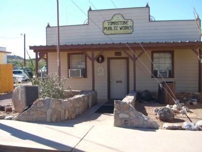
More about this marker. This marker was previously located at the west end of Allen Street. It has been moved to this location at the east end of Allen Street near the public works building.
Also see . . . The City of Tombstone, Arizona. The city website offers a history of the town. (Submitted on August 7, 2010.)
Credits. This page was last revised on February 29, 2020. It was originally submitted on August 6, 2010, by Frank Houdek of Kingman, Arizona. This page has been viewed 4,680 times since then and 53 times this year. Last updated on October 19, 2011, by Bill Kirchner of Tucson, Arizona. Photos: 1, 2. submitted on October 19, 2011, by Bill Kirchner of Tucson, Arizona. 3, 4, 5. submitted on August 8, 2010, by Bill Kirchner of Tucson, Arizona. 6. submitted on October 19, 2011, by Bill Kirchner of Tucson, Arizona. 7. submitted on August 7, 2010. • Syd Whittle was the editor who published this page.
