Venice in Sarasota County, Florida — The American South (South Atlantic)
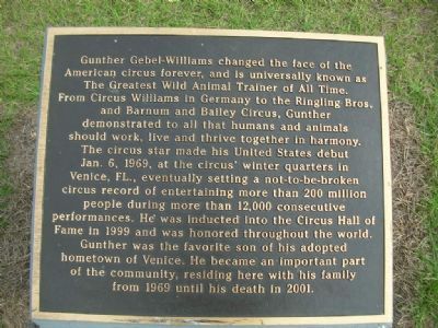
Gunther Gebel-Williams
Photographed by Julie Szabo, January 19, 2008
1. Gunther Gebel-Williams Marker
Topics. This historical marker is listed in these topic lists: Entertainment • Industry & Commerce. A significant historical date for this entry is January 6, 1816.
Location. 27° 6.087′ N, 82° 26.414′ W. Marker is in Venice, Florida, in Sarasota County. It can be reached from North Seaboard Avenue.
this page online

Regionally, this marker is on the Gulf Coast. It is also in the American South and on the Gulf Coast. Globally, it is in the North Atlantic Region, North America, a Gulf of Mexico state, the Western Hemisphere, the Western World, and the Anglosphere. Historically, it finds itself in what was once New Spain, the territory of the Mississippian Culture, one of the Confederate States of America, and the Antebellum South.
Other nearby markers. At least 8 other markers are within walking distance of this marker: Venice Railroad and Depot (a few steps from this marker); Fred Albee Municipal Airport (approx. 0.2 miles away); Colonel George Kumpe Bridge (approx. 0.2 miles away); Johnson-Schoolcraft Building 1926 (approx. 0.4 miles away); Kentucky Military Institute (approx. 0.4 miles away); San Marco Hotel (approx. 0.4 miles away); The Supreme Sacrifice (approx. 0.4 miles away); Ennes Arcade and Hotel Valencia 1926 (approx. 0.4 miles away). Touch for a list and map
Photographed by Julie Szabo, January 19, 2008
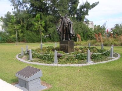
2. Gunther Gebel-Williams Marker and statue
Photographed by Julie Szabo, January 19, 2008
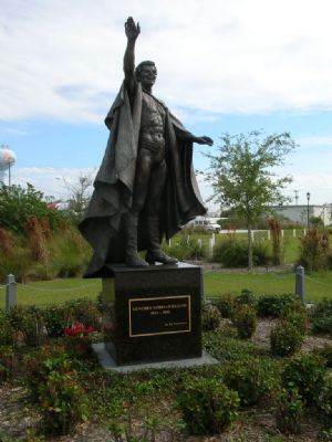
3. The statue
Photographed by Julie Szabo, January 19, 2008
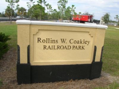
4. The Park
Credits. This page was last revised on November 10, 2019. It was originally submitted on January 21, 2008, by Julie Szabo of Oldsmar, Florida. This page has been viewed 3,748 times since then and 93 times this year. Photos: 1, 2, 3, 4. submitted on January 21, 2008, by Julie Szabo of Oldsmar, Florida. • Craig Swain was the editor who published this page.
