Near Yuma in Yuma County, Arizona — The American Mountains (Southwest)
Castle Dome Mining District
1864 - 1979

Photographed by Frank Houdek, April 18, 2009
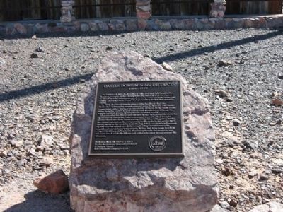
1. Castle Dome Mining District Marker
In 1871, the Floral Temple mine within the district had the distinction of being the second patented mine in Arizona. The Castle Dome Mine with 7 shafts was patented in 1876. In 1878, Castle Dome Mine built the world’s largest wagon, with a capacity of 20 tons. The wagon required a team of forty horses or mules to pull.
The mines in the district proved so rich they helped sustain centuries of off-and-on enterprise. The Government’s need for lead brought another boom to Castle Dome during WWI. After falling silent during the Great Depression, the town sprang to life again in the early 1940’s thanks again to the need for lead. During WW2 over 9,000,000 pounds of lead ore was mined out of the area, leading Castle Dome to be considered one of Japan’s top targets, if they had long range bombers.
In 1993 Allen and Stephanie Armstrong bought the property,
this page online
Erected 2009 by E Clampus Vitus Lost Dutchman Chapter 5917+4.
Topics and series. This historical marker is listed in these topic lists: Education • Industry & Commerce • Natural Resources. In addition, it is included in the E Clampus Vitus series list. A significant historical year for this entry is 1863.
Location. 33° 2.766′ N, 114° 10.668′ W. Marker is near Yuma, Arizona, in Yuma County. It can be reached from Castle Dome Mine Road 10 miles east of U.S. 95. The Museum is located 30 Miles North of Yuma and 45 miles South of Quartzsite. Touch for map. Marker is in this post office area: Yuma AZ 85365, United States of America. Touch for directions.

Regionally, this marker is in the Colorado River Valley, in the Sonoran Desert, and in the Yuma Area. It is also in the American Borderlands and in the Southwest. Globally, it is in North America, the Western Hemisphere, the Western World, and the Anglosphere. Historically, it finds itself in what was once New Spain and also the Gadsden Purchase.
Other nearby markers. At least one
Photographed by Frank Houdek, April 18, 2009
2. Castle Dome Mining District Marker
The marker is mounted on a rock at the Castle Dome Mining Museum.
More about this marker. Additional driving directions: From Quartzsite head south on US 95. From Yuma head north on US 95. At mile marker 55 turn East on Castle Dome Mine Road. The first 3 miles are paved. The next 7 miles are gravel. At the Y keep to the left. Do not take Big Eye Mine Road
Photographed by Frank Houdek, April 18, 2009
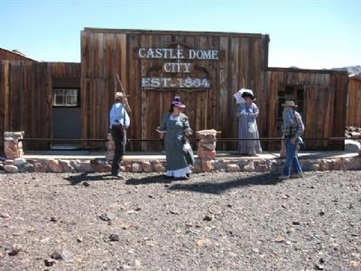
3. One of the Buildings with Ladies in Period Dress.
Photographed by Frank Houdek, April 18, 2009
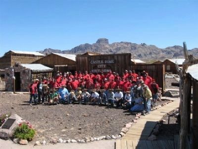
4. Lost Dutchman 5917+4 ECV Members Group at Marker Dedication.
Photographed by Frank Houdek, April 18, 2009
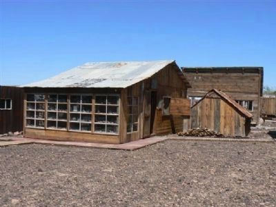
5. Castle Dome Mining District Buildings
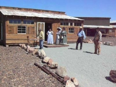
Photographed by Frank Houdek, April 18, 2009
6. Another Building
There are many buildings restored with all types of great old time items on display.
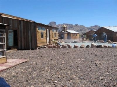
Photographed by Frank Houdek, April 18, 2009
7. View of Buildings.
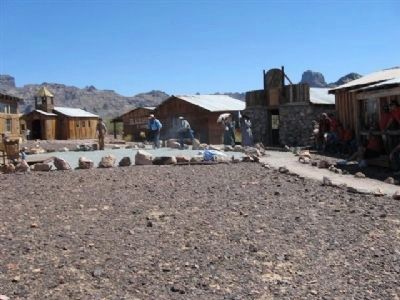
Photographed by Frank Houdek, April 18, 2009
8. Another View of Buildings.
Credits. This page was last revised on July 26, 2018. It was originally submitted on October 29, 2011, by Frank Houdek of Kingman, Arizona. This page has been viewed 1,810 times since then and 89 times this year. Photos: 1, 2, 3, 4, 5, 6, 7, 8. submitted on October 29, 2011, by Frank Houdek of Kingman, Arizona. • Syd Whittle was the editor who published this page.
