Preston in Franklin County, Idaho — The American West (Mountains)
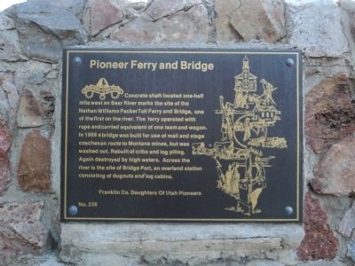
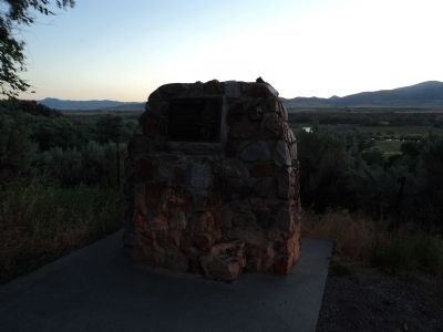
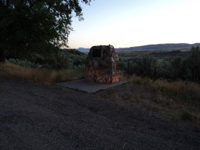
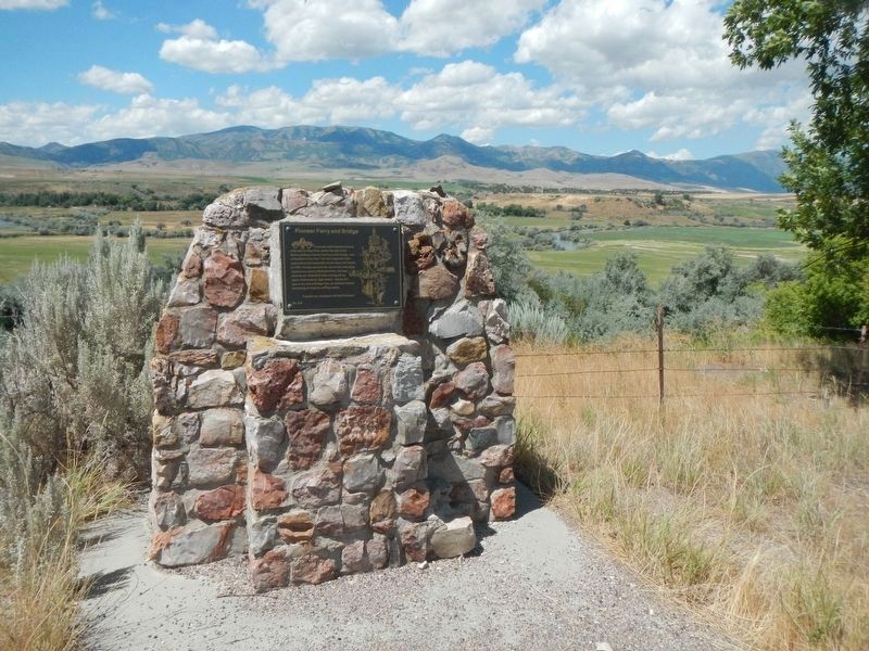
Pioneer Ferry and Bridge
Erected by Franklin County Daughters of Utah Pioneers. (Marker Number 236.)
Topics and series. This historical marker is listed in these topic lists: Bridges & Viaducts • Settlements & Settlers • Waterways & Vessels. In addition, it is included in the Daughters of Utah Pioneers series list. A significant historical year for this entry is 1869.
Location. 42° 7.217′ N, 111° 54.883′ W. Marker is in Preston, Idaho, in Franklin County. Marker is on State Highway 91, on the left when traveling north. Touch for map. Marker is in this post office area: Preston ID 83263, United States of America. Touch for directions.
Other nearby markers. At least 8 other markers are within 3 miles of this marker, measured as the crow flies. Bear River Massacre Monument (approx. 1.4 miles away); The Battle of Bear River (approx. 1.4 miles away); Bear River Massacre (approx. 1.4 miles away); Utah & Northern Railway (approx. 1.4 miles away); A Battle Becomes a Massacre (approx. 2.3 miles away); The Earth Will Remember (approx. 2.3 miles away); Attack at Bia Ogoi (approx. 2.3 miles away); California Volunteers March to the Bear River (approx. 2.3 miles away). Touch for a list and map of all markers in Preston.
Credits. This page was last revised on September 25, 2019. It was originally submitted on October 30, 2011, by Gwen Cascio of Logan, Utah. This page has been viewed 812 times since then and 45 times this year. Photos: 1, 2, 3. submitted on October 30, 2011, by Gwen Cascio of Logan, Utah. 4. submitted on September 25, 2019, by Barry Swackhamer of Brentwood, California. • Syd Whittle was the editor who published this page.
Editor’s want-list for this marker. Photos of concrete shaft if accessible. • Can you help?


