Manchester in Clay County, Kentucky — The American South (East South Central)
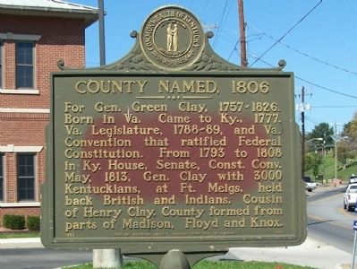
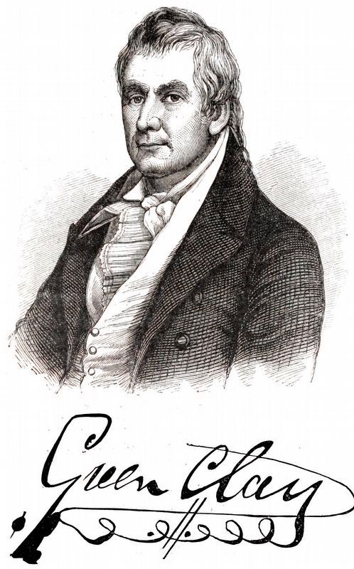
County Named, 1806
Erected 1965 by Kentucky Historical Society, Kentucky Department of Highways. (Marker Number 836.)
Topics and series. This historical marker is listed in this topic list: Political Subdivisions. In addition, it is included in the Kentucky Historical Society series list. A significant historical month for this entry is May 1813.
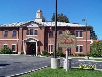
Location. 37° 9.241′ N, 83° 45.738′ W. Marker is in Manchester, Kentucky, in Clay County. Marker is on County Route 11, on the left when traveling north. Located on the lawn of the Clay County Courthouse. Touch for map. Marker is in this post office area: Manchester KY 40962, United States of America. Touch for directions.
Other nearby markers. At least 8 other markers are within 10 miles of this marker, measured as the crow flies. Gov. Bert T. Combs (1959-1963)/Bert T. Combs (1911 – 1991) (within shouting distance of this marker); Salt Works was located along the old Warrior's Path (approx. half a mile away); This Site is Birth Place of Local History (approx. 0.6 miles away); Goose Creek Salt Works (approx. 2.2 miles away); A Masterful Retreat (approx. 2.3 miles away); Chief Red Bird (approx. 10 miles away); John Gilbert, Sr. Memorial Highway (approx. 10 miles away); Oneida Baptist Institute (approx. 10.1 miles away). Touch for a list and map of all markers in Manchester.
Credits. This page was last revised on February 20, 2021. It was originally submitted on November 5, 2011, by David J Gaines of Pinson, Alabama. This page has been viewed 669 times since then and 13 times this year. Photos: 1, 2. submitted on November 5, 2011, by David J Gaines of Pinson, Alabama. 3. submitted on February 20, 2021, by Allen C. Browne of Silver Spring, Maryland. • Craig Swain was the editor who published this page.


