Kittanning in Armstrong County, Pennsylvania — The American Northeast (Mid-Atlantic)
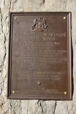
Kittanning or Attiqué Indian Town
Erected 1926 by Pennsylvania Historical Commission and The Armstrong County Historical Society.
Topics. This historical marker is listed in these topic lists: Native Americans • Settlements & Settlers. A significant historical date for this entry is September 8, 1988.
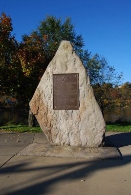
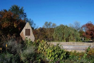
Location. 40° 48.813′ N, 79° 31.276′ W. Marker is in Kittanning, Pennsylvania, in Armstrong County. Marker is at the intersection of Market Street (U.S. 422) and Water Street, on the right when traveling west on Market Street. Located on east side of bridge, plaque is mounted to a boulder at the Market Street entrance to Kittanning Riverfront Park. Touch for map. Marker is in this post office area: Kittanning PA 16201, United States of America. Touch for directions.
Other nearby markers. At least 8 other markers are within 3 miles of this marker, measured as the crow flies. Armstrong County Civil War Memorial (within shouting distance of this marker); Kittanning WW I Memorial (within shouting distance of this marker); Kittanning (approx. 0.2 miles away); Armstrong County (approx. 0.3 miles away); In Memory of General John Armstrong (approx. 0.3 miles away); a different marker also named Kittanning (approx. 0.4 miles away); Fort Armstrong (approx. 2 miles away); Pittsburgh Plate Glass Ford City Works (approx. 3 miles away). Touch for a list and map of all markers in Kittanning.
Credits. This page was last revised on June 16, 2016. It was originally submitted on November 5, 2011, by Mike Wintermantel of Pittsburgh, Pennsylvania. This page has been viewed 949 times since then and 74 times this year. Photos: 1, 2, 3. submitted on November 5, 2011, by Mike Wintermantel of Pittsburgh, Pennsylvania.


