Beattyville in Lee County, Kentucky — The American South (East South Central)
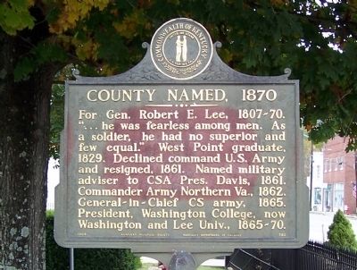
County Named, 1870
For Gen. Robert E. Lee, 1807-70. “…he was fearless among men. As a soldier, he had no superior and few equal.” West Point graduate, 1829. Declined command U.S. Army and resigned, 1861. Named military adviser to CSA Pres. Davis, 1861. Commander Army Northern Va., 1862. General-in Chief CS army, 1865. President, Washington College, now Washington and Lee Univ. 1865-70.
Erected 1964 by Kentucky Historical Society and Kentucky Department of Highways. (Marker Number 792.)
Topics and series. This historical marker is listed in this topic list: Political Subdivisions. In addition, it is included in the Kentucky Historical Society series list. A significant historical year for this entry is 1829.
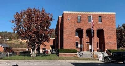
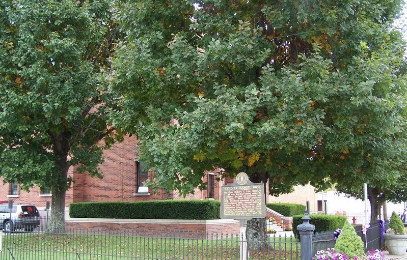
Location. 37° 34.409′ N, 83° 42.621′ W. Marker is in Beattyville, Kentucky, in Lee County. Marker is at the intersection of Main Street and Walnut Street, on the right when traveling west on Main Street. Located on the lawn of the Lee County Courthouse. Touch for map. Marker is in this post office area: Beattyville KY 41311, United States of America. Touch for directions.
Other nearby markers. At least 8 other markers are within 7 miles of this marker, measured as the crow flies. Kentucky River Forms Here (about 500 feet away, measured in a direct line); Lee County War Memorial (approx. 0.2 miles away); Lee County Veterans Wall (approx. 0.2 miles away); A Masterful Retreat (approx. ¼ mile away); Company A of the 7th Ky Infantry Regiment (approx. 3½ miles away); Birthplace of Earle B. Combs (approx. 5.2 miles away); Boone’s Station (approx. 7 miles away); Owsley County Veterans Memorial (approx. 7 miles away). Touch for a list and map of all markers in Beattyville.
Credits. This page was last revised on November 10, 2020. It was originally submitted on November 6, 2011, by David J Gaines of Pinson, Alabama. This page has been viewed 664 times since then and 10 times this year. Photos: 1. submitted on November 6, 2011, by David J Gaines of Pinson, Alabama. 2. submitted on November 8, 2020, by Frank Profitt of Georgetown, Kentucky. 3. submitted on November 9, 2020, by David J Gaines of Pinson, Alabama. • Craig Swain was the editor who published this page.


