Ellis Island in Manhattan in New York County, New York — The American Northeast (Mid-Atlantic)
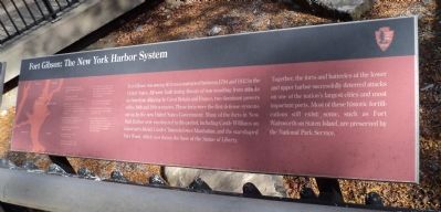
Fort Gibson: The New York Harbor System
Fort Gibson was among 40 forts constructed between 1794 and 1812 in the United States. All were built during threats of war resulting from attacks on American shipping by Great Britain and France, two dominant powers of the 18th and 19th centuries. These forts were the first defense systems set up by the new United States Government. Many of the forts in New York Harbor were constructed in this period, including Castle Williams on Governor’s Island, Castle Clinton in lower Manhattan, and the star-shaped Fort Wood, which now forms the base of the Statue of Liberty.
Together, the forts and batteries of the lower and upper harbor successfully deterred attacks on one of the nation’s largest cities and most important ports. Most of these historic fortifications still exist; some, such as Fort Wadsworth on Staten Island, are preserved by the National Park Service.
Erected by National Park Service.
Topics. This historical marker is listed in this topic list: Forts and Castles. A significant historical year for this entry is 1794.
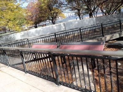
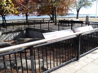
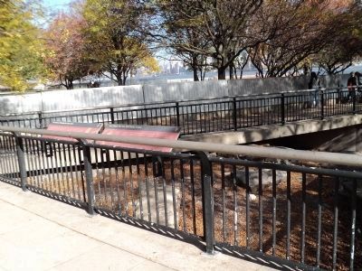
Location. 40° 41.934′ N, 74° 2.324′ W. Marker is in Manhattan, New York, in New York County. It is on Ellis Island. Marker is located on the north end of Ellis Island, near the American Immigrant Wall of Honor. Touch for map. Marker is in this post office area: New York NY 10004, United States of America. Touch for directions.
Other nearby markers. At least 8 other markers are within walking distance of this marker. Fort Gibson: Defending the Approaches (here, next to this marker); The American Immigrant Wall of Honor ® (here, next to this marker); Fort Gibson: The Other Ellis Island Story (a few steps from this marker); Fort Gibson: Uncovering the Past (a few steps from this marker); Fort Gibson: Ammunition to Immigration (a few steps from this marker); Fort Gibson: Oyster Banks to Batteries (a few steps from this marker); a different marker also named The American Immigrant Wall of Honor ® (within shouting distance of this marker); Delaware Indian Burials (about 300 feet away, measured in a direct line). Touch for a list and map of all markers in Manhattan.
More about this marker. The left side of the marker contains a map of New York Harbor indicating the forts located there.
Credits. This page was last revised on January 31, 2023. It was originally submitted on November 8, 2011, by Bill Coughlin of Woodland Park, New Jersey. This page has been viewed 752 times since then and 28 times this year. Photos: 1, 2, 3, 4. submitted on November 8, 2011, by Bill Coughlin of Woodland Park, New Jersey.


