Leeds in Jefferson County, Alabama — The American South (East South Central)
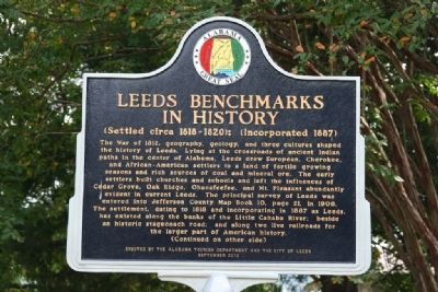
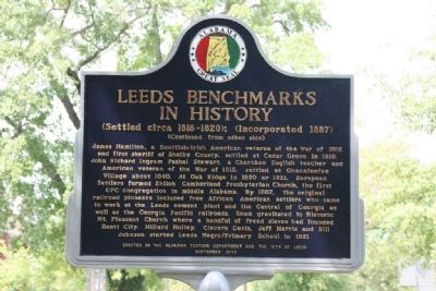
Leeds Benchmarks In History
(Settled circa 1818-1820); (Incorporated 1887)
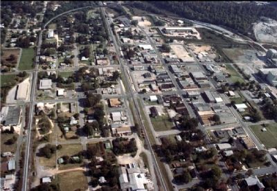
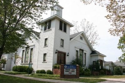
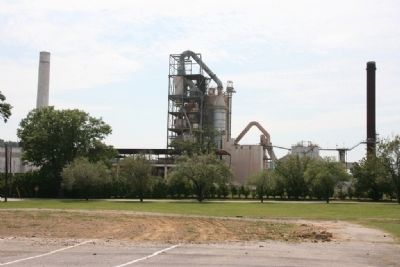
The War of 1812, geography, geology, and three cultures shaped the history of Leeds. Lying at the crossroads of ancient Indian paths in the center of Alabama, Leeds drew Europeans, Cherokee, and African-American settlers to a land of fertile growing seasons and rich sources of coal and mineral ore. The early settlers built churches and schools and left the influences of Cedar Grove, Oak Ridge, Ohanafeefee, and Mt. Pleasant abundantly evident in current Leeds. The principal survey of Leeds was entered into Jefferson County map Book 10, page 21, in 1908. The settlement, dating to 1818 and incorporating in 1887 as Leeds, has existed along the banks of the Little Cahaba River; beside an historic stagecoach road; and along two live railroads for the larger part of American history.
James Hamilton, a Scottish-Irish American veteran of the War of 1812 and first sheriff of Shelby County, settled at Cedar Grove in 1818. John Richard Ingram Pashal Stewart, a Cherokee English teacher and American veteran of the War of 1812, settled at Ohanafeefee Village abut 1840. At Oak Ridge in 1820 or 1821, European Settlers formed Shiloh Cumberland Presbyterian Church, the first CPC congregation in middle Alabama. By 1887, the original railroad pioneers included free African American settlers who came to work at the Leeds cement plant and the Central of Georgia as well as the Georgia Pacific railroads. Some gravitated to Historic Mt. Pleasant Church where a handful of freed slaves had founded Scott City. Hillard Holley, Ciscero Davis, Jeff Harris and Bill Johnson started Leeds Negro/Primary School in 1921.
Erected 2010 by Alabama Tourism Department and the City of Leeds.
Topics. This historical marker is listed in this topic list: Settlements & Settlers. A significant historical year for this entry is 1812.
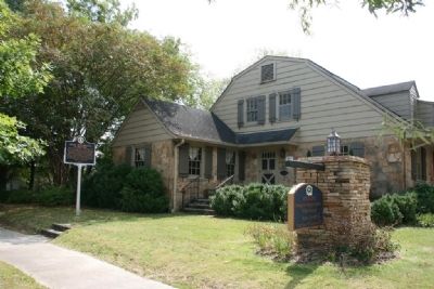
Location. 33° 32.676′ N, 86° 32.673′ W. Marker is in Leeds, Alabama, in Jefferson County. Marker is at the intersection of Parkway Drive (U.S. 78) and 6th Steet Southeast, on the right when traveling east on Parkway Drive. Touch for map. Marker is at or near this postal address: 7901 Parkway Drive, Leeds AL 35094, United States of America. Touch for directions.
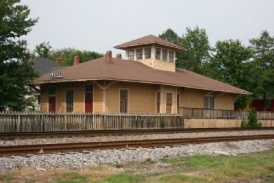
Other nearby markers. At least 8 other markers are within 5 miles of this marker, measured as the crow flies. John Henry (approx. 0.3 miles away); The Depot (approx. 0.3 miles away); Shiloh Cemetery (approx. 0.4 miles away); Jonathan Bass House Museum (approx. 0.8 miles away); Congressional Medal Of Honor Recipients (approx. 1.1 miles away); Rowan House (approx. 2.4 miles away); Mt. Hebron School (approx. 4.6 miles away); Sidney Word Lee (approx. 4.6 miles away). Touch for a list and map of all markers in Leeds.
Credits. This page was last revised on August 5, 2022. It was originally submitted on November 9, 2011, by Timothy Carr of Birmingham, Alabama. This page has been viewed 1,678 times since then and 96 times this year. Photos: 1, 2, 3, 4, 5, 6, 7, 8, 9, 10. submitted on November 9, 2011, by Timothy Carr of Birmingham, Alabama. • Craig Swain was the editor who published this page.
