Near Beloit in Rock County, Wisconsin — The American Midwest (Great Lakes)
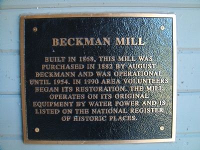
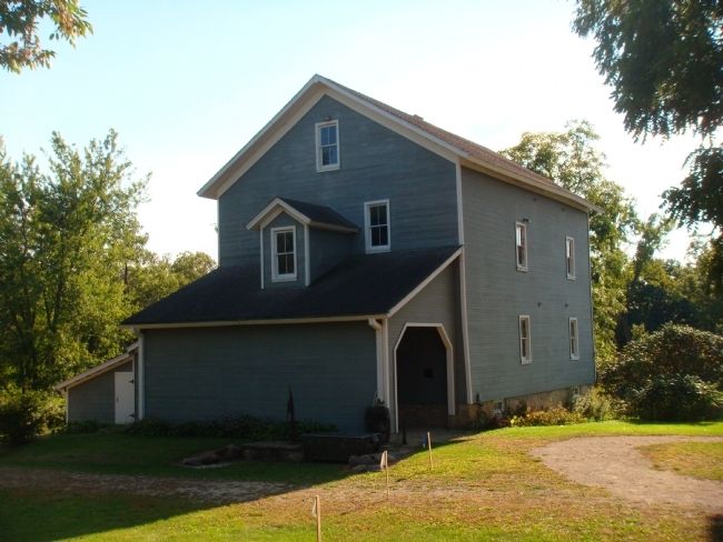
Beckman Mill
Photographed by William J. Toman, September 10, 2011
1. Beckman Mill Marker
Topics. This historical marker is listed in this topic list: Industry & Commerce. A significant historical year for this entry is 1868.
Location. 42° 30.627′ N, 89° 10.199′ W. Marker is near Beloit, Wisconsin, in Rock County. It is on County Highway H 0.1 miles east of West Smith Road, on the left when traveling east. Touch for map. Marker is at or near this postal address: 11450 South County Highway H, Beloit WI 53511, United States of America. Touch for directions.

Regionally, this marker is in Southeast Wisconsin and in Greater Madison. It is also in the American Midwest and in the Corn Belt. Globally, it is in North America, the Western Hemisphere, the Western World, and the Anglosphere. Historically, it finds itself in what was once the territory of the Mississippian Culture and also the Northwest Territory.
Other nearby markers. At least 8 other
this page online
Photographed by William J. Toman, September 10, 2011
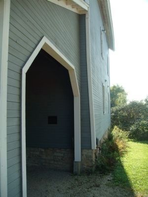
2. Beckman Mill Marker
The marker is just inside the covered area of the mill building.
Photographed by William J. Toman, September 10, 2011
3. Beckman Mill Marker
Credits. This page was last revised on June 16, 2016. It was originally submitted on November 13, 2011, by William J. Toman of Green Lake, Wisconsin. This page has been viewed 637 times since then and 24 times this year. Photos: 1, 2, 3. submitted on November 13, 2011, by William J. Toman of Green Lake, Wisconsin.
