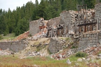
Near Philipsburg in Granite County, Montana — The American West (Mountains)
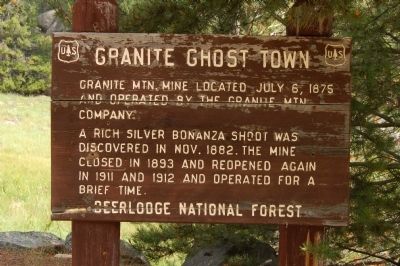
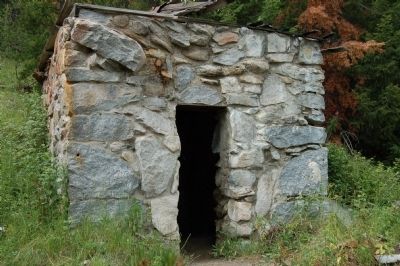
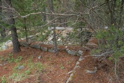
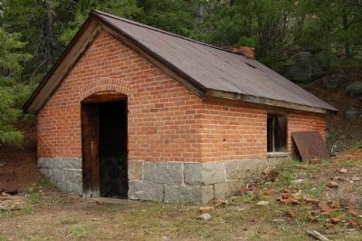
Granite Ghost Town
A rich silver bonanza shoot was discovered in Nov. 1882. The mine closed in 1893 and reopened again in 1911 and 1912 and operated for a brief time.
Erected by National Forest Service, Deerlodge National Forest.
Topics. This historical marker is listed in these topic lists: Industry & Commerce • Settlements & Settlers. A significant historical date for this entry is July 6, 1854.
Location. 46° 19.022′ N, 113° 14.879′ W. Marker is near Philipsburg, Montana, in Granite County. Marker is on Contract Mill Road. Granite is located approx. 4 miles from Philipsburg, out the dirt/gravel Granite Road. Inquire locally. Follow the signs to Granite. The marker is located near the parking lot. Road names don't matter very much in Granite as they are all unsigned. Touch for map. Marker is in this post office area: Philipsburg MT 59858, United States of America. Touch for directions.
Other nearby markers. At least 8 other markers are within 3 miles of this marker, measured as the crow flies. Miner's Union Hall (about 500 feet away, measured in a direct line); Superintendent’s House (about 600 feet away); Granite Mountain Mining Company Office (about 700 feet away); Mill A and B (approx. 0.2 miles away); Bi-Metallic Aerial Tramway (approx. 0.2 miles away); Ruby Shaft (approx. 0.2 miles away); Morse Hall (approx. 2.3 miles away); Weinstein Building (approx. 2.4 miles away). Touch for a list and map of all markers in Philipsburg.
Also see . . . Granite - Montana's Silver Queen. (Submitted on November 15, 2011, by Barry Swackhamer of Brentwood, California.)
Credits. This page was last revised on October 18, 2018. It was originally submitted on November 15, 2011, by Barry Swackhamer of Brentwood, California. This page has been viewed 736 times since then and 15 times this year. Photos: 1, 2, 3, 4, 5. submitted on November 15, 2011, by Barry Swackhamer of Brentwood, California. • Bill Pfingsten was the editor who published this page.
