Tellico Plains in Monroe County, Tennessee — The American South (East South Central)
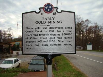
Early Gold Mining
Erected by Tennessee Historical Commission. (Marker Number 1F 18.)
Topics and series. This historical marker is listed in this topic list: Industry & Commerce. In addition, it is included in the Tennessee Historical Commission series list. A significant historical year for this entry is 1831.
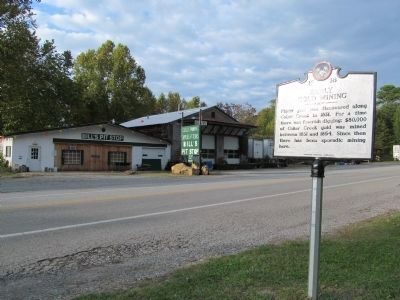
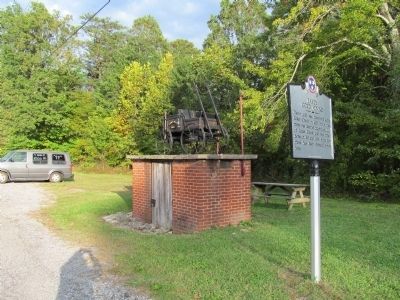
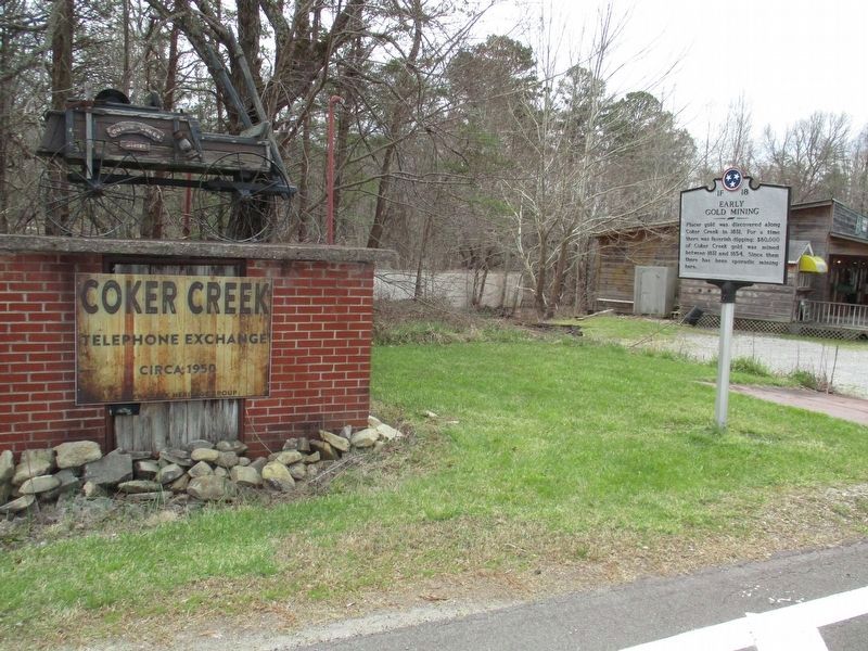
Location. 35° 15.528′ N, 84° 17.442′ W. Marker is in Tellico Plains, Tennessee, in Monroe County. Marker is at the intersection of Tennessee Route 68 and Hot Water Road, on the right when traveling north on State Route 68. Touch for map. Marker is at or near this postal address: 12574 Hwy 68, Tellico Plains TN 37385, United States of America. Touch for directions.
Other nearby markers. At least 8 other markers are within 8 miles of this marker, measured as the crow flies. Unicoi Turnpike Trail (a few steps from this marker); Gold Mining at Coker Creek (within shouting distance of this marker); Coker Creek (within shouting distance of this marker); Tellico Iron Works (approx. 7˝ miles away); Cherokee Heritage Trails (approx. 7˝ miles away); Fort Loudoun Massacre (approx. 7˝ miles away); Boyhood Home of Ray H. Jenkins (approx. 7˝ miles away); The Tennessee Overhill Experience (approx. 7˝ miles away). Touch for a list and map of all markers in Tellico Plains.
Credits. This page was last revised on March 30, 2022. It was originally submitted on November 16, 2011, by Judith Barber of Marietta, Georgia. This page has been viewed 865 times since then and 63 times this year. Photos: 1. submitted on November 16, 2011, by Judith Barber of Marietta, Georgia. 2, 3. submitted on October 12, 2012, by Judith Barber of Marietta, Georgia. 4. submitted on March 30, 2022, by Tom Gillard of Tullahoma, Tennessee. • Bernard Fisher was the editor who published this page.


