Danville in Boyle County, Kentucky — The American South (East South Central)
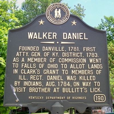
Walker Daniel
Erected by Kentucky Department of Highways. (Marker Number 190.)
Topics and series. This historical marker is listed in this topic list: Settlements & Settlers. In addition, it is included in the Kentucky Historical Society series list. A significant historical year for this entry is 1781.
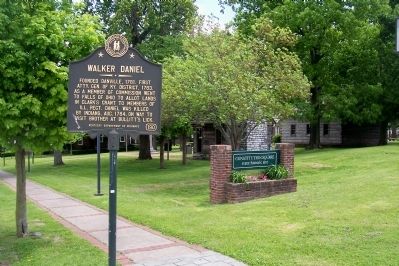
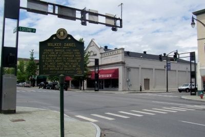
Location. 37° 38.739′ N, 84° 46.247′ W. Marker is in Danville, Kentucky, in Boyle County. Marker is at the intersection of Main Street and South 2nd Street, on the right when traveling east on Main Street. On the northwest corner of Constitution Square. Touch for map. Marker is in this post office area: Danville KY 40422, United States of America. Touch for directions.
Other nearby markers. At least 8 other markers are within walking distance of this marker. First USCT Recruits at Camp Nelson (within shouting distance of this marker); Isaac Shelby (within shouting distance of this marker); Post Office (within shouting distance of this marker); First Post Office (within shouting distance of this marker); African American Business District - Doric Lodge No. 18 (F. & A.M.-P.H.A.) (within shouting distance of this marker); John Gill Weisiger Memorial Park (within shouting distance of this marker); Lewis and Clark in Kentucky - Danville (within shouting distance of this marker); Meeting House (within shouting distance of this marker). Touch for a list and map of all markers in Danville.
Credits. This page was last revised on June 16, 2016. It was originally submitted on November 21, 2011, by Forest McDermott of Masontown, Pennsylvania. This page has been viewed 732 times since then and 27 times this year. Photos: 1, 2, 3. submitted on November 21, 2011, by Forest McDermott of Masontown, Pennsylvania. • Craig Swain was the editor who published this page.


