
Woodneath in Kansas City in Clay County, Missouri — The American Midwest (Upper Plains)
Woodneath
— Clay County Historical Society Historic Landmark —
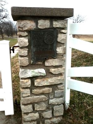
Photographed By Tony Meyers, November 25, 2011
1. Woodneath Marker
Erected by Clay County Historical Society.
Topics and series. This historical marker is listed in this topic list: Settlements & Settlers. In addition, it is included in the Missouri, Clay County Historic Landmarks series list. A significant historical year for this entry is 1838.
Location. 39° 15.214′ N, 94° 27.923′ W. Marker is in Kansas City, Missouri, in Clay County. It is in Woodneath. Marker is on Flintlock Road, 0.4 miles north of Missouri Highway 152, on the right when traveling south. Touch for map. Marker is at or near this postal address: 8900 North Flintlock Road, Liberty MO 64068, United States of America. Touch for directions.
Other nearby markers. At least 8 other markers are within 3 miles of this marker, measured as the crow flies. Interurban Railway Bridge (approx. 2.1 miles away); Interurban Railroad - Withers Station (approx. 2.1 miles away); Riverview (approx. 2.3 miles away); Confederate Soldiers (approx. 2.3 miles away); General Alexander William Doniphan (approx. 2.3 miles away); Col. John Thornton (approx. 2.4 miles away); Lucy A. Ward Love (approx. 2.4 miles away); Replica of the Statue of Liberty (approx. 2.4 miles away).
Click on the ad for more information.
Please report objectionable advertising to the Editor.
Please report objectionable advertising to the Editor.
this page online
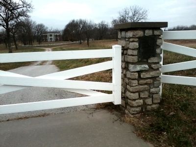
Photographed By Tony Meyers
2. Woodneath Marker
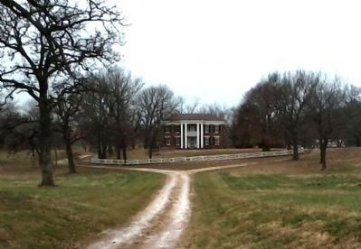
Photographed By Tony Meyers
3. Woodneath
Credits. This page was last revised on February 11, 2023. It was originally submitted on November 25, 2011, by Tony Meyers of Liberty, Missouri. This page has been viewed 761 times since then and 22 times this year. Photos: 1, 2, 3. submitted on November 25, 2011, by Tony Meyers of Liberty, Missouri. • Craig Swain was the editor who published this page.

