Nevada City in Nevada County, California — The American West (Pacific Coastal)
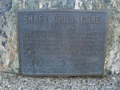
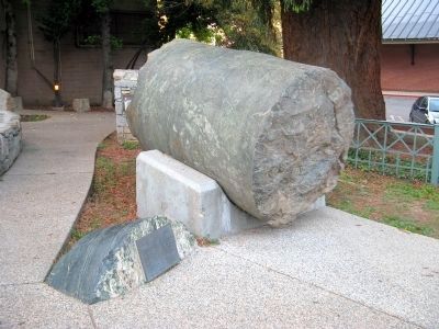
Shaft Drill Core
1935-36
Erected 1988 by Wm. Bull Meek – Wm. Morris Stewart, Chapter No. 10, E Clampus Vitus.
Topics and series. This historical marker is listed in this topic list: Industry & Commerce. In addition, it is included in the E Clampus Vitus series list.
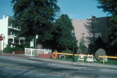
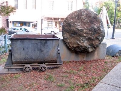
Location. 39° 15.754′ N, 121° 1.037′ W. Marker is in Nevada City, California, in Nevada County. Marker is at the intersection of Union Alley and Broad Street, on the right when traveling east on Union Alley. This marker is located in Calanan Park along with additional markers and mining displays. Touch for map. Marker is at or near this postal address: 101 Union Alley, Nevada City CA 95959, United States of America. Touch for directions.
Other nearby markers. At least 8 other markers are within walking distance of this marker. Nevada City, The “Queen City of the Northern Mines” (a few steps from this marker); The Monitor (a few steps from this marker); Hydraulic Gold Mining 21-Inch Gate Valve (a few steps from this marker); Robinson Plaza (within shouting distance of this marker); Pelton Water Wheel (within shouting distance of this marker); Five Stamp Mill (within shouting distance of this marker); South Yuba Canal Office (within shouting distance of this marker); The National Hotel (within shouting distance of this marker). Touch for a list and map of all markers in Nevada City.
Credits. This page was last revised on June 16, 2016. It was originally submitted on November 26, 2011, by Barry Swackhamer of Brentwood, California. This page has been viewed 613 times since then and 22 times this year. Photos: 1, 2, 3. submitted on November 26, 2011, by Barry Swackhamer of Brentwood, California. 4. submitted on November 26, 2011. • Syd Whittle was the editor who published this page.


