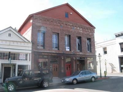
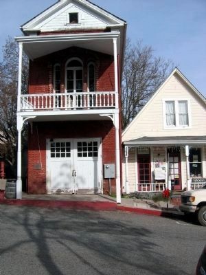
Nevada City in Nevada County, California — The American West (Pacific Coastal)
Nevada City, The “Queen City of the Northern Mines”
National Register of Historic Places
Inscription.
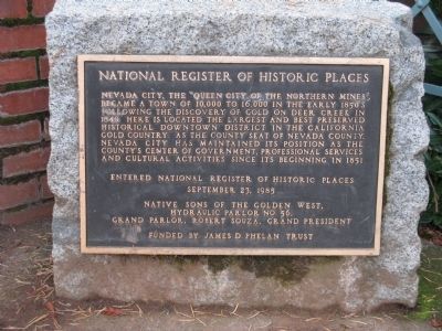
Nevada City, the “Queen City of the Northern Mines”, became a town of 16,000 in the early 1850’s following the discovery of gold on Deer Creek in 1849. Here is located the largest and best preserved historical downtown district in California Gold Country. As the county seat of Nevada County, Nevada City has maintained its position as the county’s center of government, professional services and cultural activities since its beginning in 1851.
September 23, 1985
Erected by Native Sons of the Golden West, Hydraulic Parlor No. 56.
Topics and series. This historical marker is listed in this topic list: Notable Places. In addition, it is included in the Native Sons/Daughters of the Golden West series list. A significant historical month for this entry is September 1985.
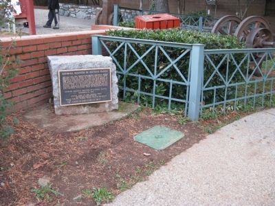
Location. 39° 15.752′ N, 121° 1.047′ W. Marker is in Nevada City, California, in Nevada County. Marker is on Union Alley near Broad Street, on the right when traveling east. Marker is located at Calanan Park which is located on the corner of Union Alley and Broad Street. Touch for map. Marker is in this post office area: Nevada City CA 95959, United States of America. Touch for directions.
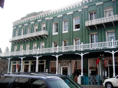
Other nearby markers. At least 8 other markers are within walking distance of this marker. Hydraulic Gold Mining 21-Inch Gate Valve (a few steps from this marker); The Monitor (a few steps from this marker); Shaft Drill Core (a few steps from this marker); The National Hotel (within shouting distance of this marker); Robinson Plaza (within shouting distance of this marker); National Exchange Hotel (within shouting distance of this marker); Pelton Water Wheel (within shouting distance of this marker); Ladies of the Evening (within shouting distance of this marker). Touch for a list and map of all markers in Nevada City.
Photographed By Syd Whittle
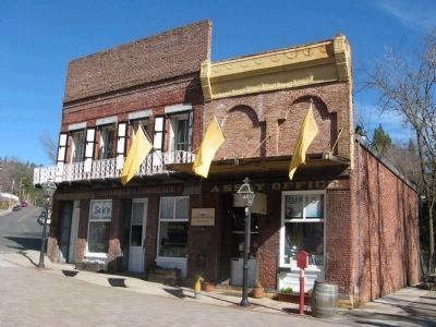
7. South Yuba Canal Office
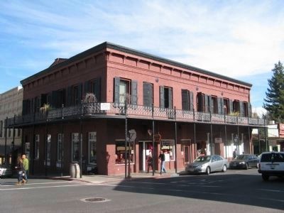
This building, located at 134 Main Street, was the site of The South Yuba Canal Water Company and was headquarters for the largest network of water flumes and ditches in the state. These were used to supply water for hydraulic mining in the area. It now houses the Nevada City Chamber of Commerce.
Credits. This page was last revised on June 16, 2016. It was originally submitted on November 27, 2011, by Syd Whittle of Mesa, Arizona. This page has been viewed 621 times since then and 23 times this year. Photos: 1, 2. submitted on November 27, 2011, by Syd Whittle of Mesa, Arizona. 3. submitted on October 23, 2008, by Syd Whittle of Mesa, Arizona. 4. submitted on February 14, 2011, by Syd Whittle of Mesa, Arizona. 5. submitted on February 13, 2011, by Syd Whittle of Mesa, Arizona. 6. submitted on August 29, 2008, by Syd Whittle of Mesa, Arizona. 7. submitted on February 15, 2011, by Syd Whittle of Mesa, Arizona.
