Burnsville in Braxton County, West Virginia — The American South (Appalachia)
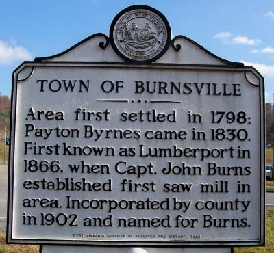
Town of Burnsville
Erected 2006 by West Virginia Division of Archives and History.
Topics and series. This historical marker is listed in this topic list: Settlements & Settlers. In addition, it is included in the West Virginia Archives and History series list. A significant historical year for this entry is 1798.
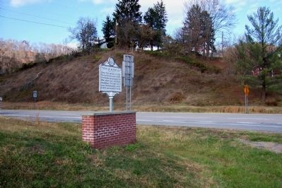
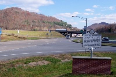
Location. 38° 51.56′ N, 80° 39.738′ W. Marker is in Burnsville, West Virginia, in Braxton County. Marker is at the intersection of Bridge Street (West Virginia Route 5) and S. Wabash Avenue, on the left when traveling west on Bridge Street. Just west of exit 79 of Interstate 79. Touch for map. Marker is in this post office area: Burnsville WV 26335, United States of America. Touch for directions.
Other nearby markers. At least 8 other markers are within 8 miles of this marker, measured as the crow flies. Burnsville Bridge (approx. 0.4 miles away); Braxton County / Gilmer County (approx. 2.6 miles away); Purple Heart Memorial (approx. 5.2 miles away); Skirmish at Salt Lick Bridge (approx. 6.8 miles away); Bulltown / Bulltown Battle (approx. 7.1 miles away); Battle of Bulltown (approx. 7.1 miles away); Spring House (approx. 7.1 miles away); Food Cellar (approx. 7.1 miles away). Touch for a list and map of all markers in Burnsville.
Credits. This page was last revised on June 16, 2016. It was originally submitted on November 29, 2011, by Forest McDermott of Masontown, Pennsylvania. This page has been viewed 959 times since then and 210 times this year. Photos: 1, 2, 3. submitted on November 29, 2011, by Forest McDermott of Masontown, Pennsylvania. • Bill Pfingsten was the editor who published this page.


