Enchanted Valley in Cypress in Harris County, Texas — The American South (West South Central)
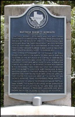
Matthew Burnett Homesite
Texas Army Camp - April 16, 1836
The interim government of the Republic of Texas stayed here briefly on March 22, 1836, while enroute to establish the Republic's new capital at Harrisburg. The Texas army, 1100 men under the command of Sam Houston, stopped here about dusk on April 16, 1836, after turning southeast at the Robert's crossroads earlier in the day. During their overnight stay they consumed most of Burnett's livestock and grains, and burned fence rails for fuel. The next morning the Texas army departed for Harrisburg. Four days later, on April 21, they routed the Mexican army at the Battle of San Jacinto, winning Texas independence from Mexico.
Having fled the area in the episode known as the "Runaway Scrape," the Burnetts returned after learning of the victory at San Jacinto. In the late 1830s and 1840s their home became a prominent landmark and well-known tavern on the road to the city of Houston.
Sam Houston Bicentennial 1793-1993
Erected 1993 by Texas Historical Commission. (Marker Number 10623.)
Topics. This historical marker is listed in these topic lists: Settlements & Settlers • War, Texas Independence. A significant historical month for this entry is March 1864.
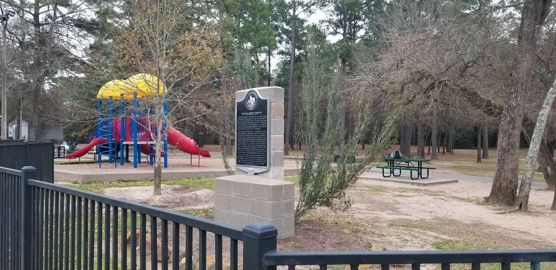
Location. 29° 57.259′ N, 95° 38.902′ W. Marker is in Cypress, Texas, in Harris County. It is in Enchanted Valley. Marker is at the intersection of Pleasant Grove Road and Telge Road, on the right when traveling east on Pleasant Grove Road. Touch for map. Marker is in this post office area: Cypress TX 77429, United States of America. Touch for directions.
Other nearby markers. At least 8 other markers are within 8 miles of this marker, measured as the crow flies. St. John Lutheran Church (approx. 2.1 miles away); Cypress (approx. 3.2 miles away); Heritage Presbyterian Church (approx. 4.3 miles away); Perry Cemetery (approx. 4.4 miles away); Amos Cemetery (approx. 5˝ miles away); St. John Lutheran Cemetery (approx. 5.7 miles away); Catherine Wunderlich (approx. 7.9 miles away); Wunderlich Farm (approx. 7.9 miles away). Touch for a list and map of all markers in Cypress.
Credits. This page was last revised on February 1, 2023. It was originally submitted on December 4, 2011, by Jim Evans of Houston, Texas. This page has been viewed 2,966 times since then and 150 times this year. Photos: 1. submitted on December 4, 2011, by Jim Evans of Houston, Texas. 2. submitted on February 21, 2022, by James Hulse of Medina, Texas. • Bernard Fisher was the editor who published this page.

