Charleston in Las Vegas in Clark County, Nevada — The American Mountains (Southwest)
Las Vegas Springs
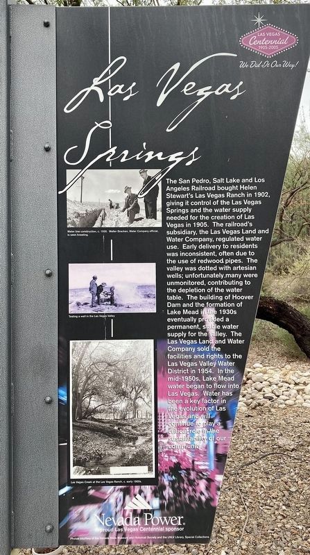
Photographed by Craig Baker, September 18, 2025
1. Las Vegas Springs Marker
Topics. This historical marker is listed in these topic lists: Industry & Commerce • Settlements & Settlers. A significant historical year for this entry is 1902.
Location. 36° 10.217′ N, 115° 11.54′ W. Marker is in Las Vegas, Nevada, in Clark County. It is in Charleston. It is at the intersection of South Valley View Boulevard and Meadows Lane, on the right when traveling north on South Valley View Boulevard. Marker is located at the entrance to the Springs Preserve. Touch for map. Marker is at or near this postal address: 333 S Valley View Blvd, Las Vegas NV 89152, United States of America. Touch for directions.

Regionally, this marker is in the Mojave Desert. It is also in the American Southwest and in the Mountain West. Globally, it is in North America, the Western Hemisphere, the Western World, and the Anglosphere. Historically, it finds
this page online
Other nearby markers. At least 8 other markers are within walking distance of this marker: A different marker also named Las Vegas Springs (here, next to this marker); Las Vegas (The Meadows) (approx. 0.2 miles away); Tap Into History (approx. 0.2 miles away); Intake No. 3 Project - 2015 (approx. 0.2 miles away); Early Las Vegas (approx. ¼ mile away); Railroad Cottages (approx. ¼ mile away); The Big Spring (approx. ¼ mile away); Las Vegas Boomtown (approx. ¼ mile away). Touch for a list and map of all markers in Las Vegas.
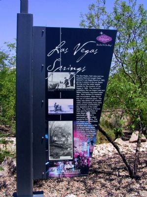
Photographed by Michael Kindig, June 4, 2008
2. Las Vegas Springs Marker
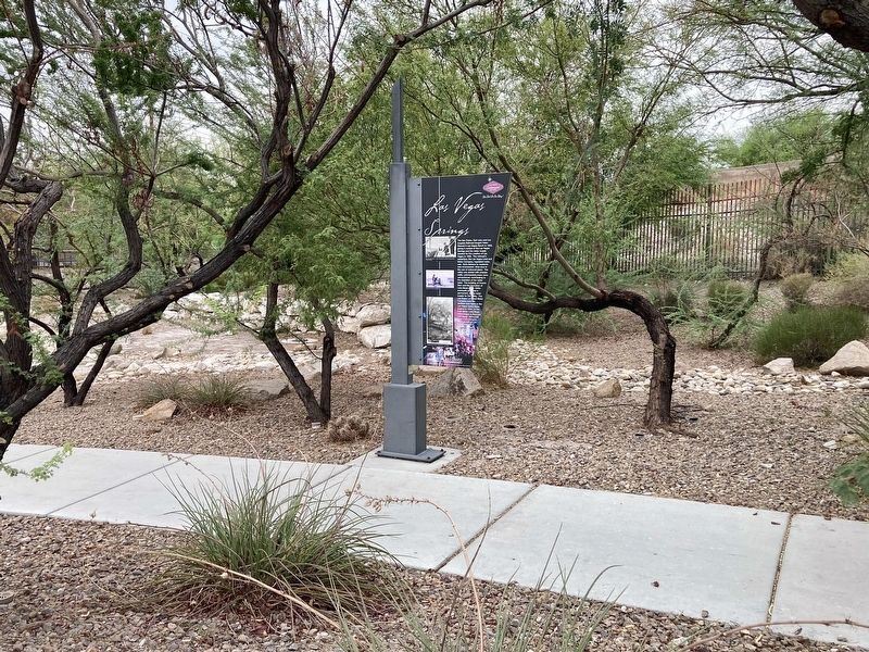
Photographed by Craig Baker, September 18, 2025
3. Las Vegas Springs Marker
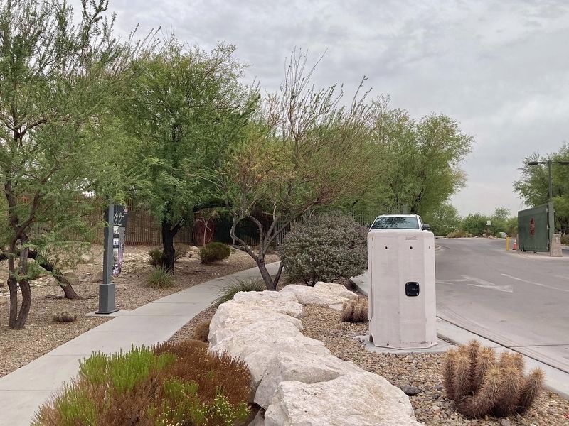
Photographed by Craig Baker, September 18, 2025
4. Las Vegas Springs Marker - at left
Photographed by Craig Baker, September 18, 2025
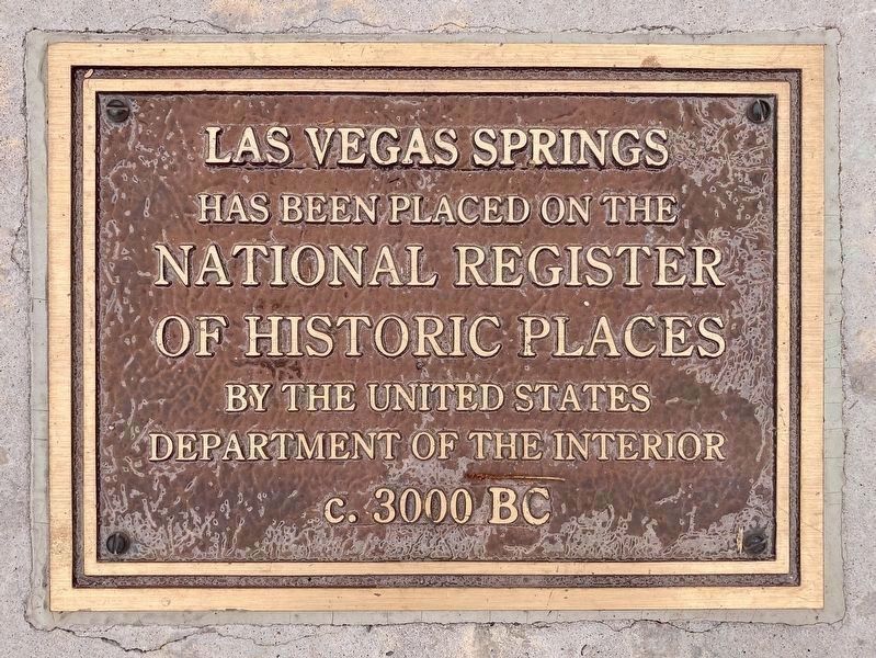
5. National Register of Historic Places
This plaque lays flat in the sidewalk near the marker, one of a few identical plaques at the preserve.

Photographed by Michael Kindig, June 4, 2008
6. Springs Preserve Entrance
Credits. This page was last revised on October 26, 2025. It was originally submitted on December 8, 2011, by Michael Kindig of Elk Grove, California. This page has been viewed 1,346 times since then and 57 times this year. Photos: 1. submitted on September 19, 2025, by Craig Baker of Sylmar, California. 2. submitted on December 8, 2011, by Michael Kindig of Elk Grove, California. 3, 4, 5. submitted on September 19, 2025, by Craig Baker of Sylmar, California. 6. submitted on December 8, 2011, by Michael Kindig of Elk Grove, California. • Syd Whittle was the editor who published this page.
