Toms Brook in Shenandoah County, Virginia — The American South (Mid-Atlantic)
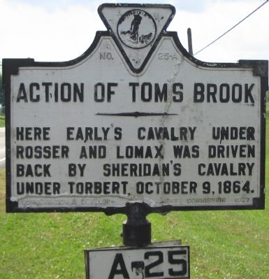
Action of Toms Brook
Erected 1927 by Conservation & Development Commission. (Marker Number A-25.)
Topics and series. This historical marker is listed in this topic list: War, US Civil. In addition, it is included in the Virginia Department of Historic Resources (DHR) series list. A significant historical date for this entry is October 9, 1952.
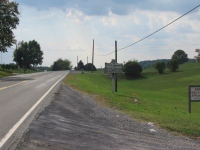
Location. 38° 56.525′ N, 78° 26.81′ W. Marker is in Toms Brook, Virginia, in Shenandoah County. Marker is on Valley Pike (U.S. 11), on the right when traveling south. Touch for map. Marker is in this post office area: Toms Brook VA 22660, United States of America. Touch for directions.
Other nearby markers. At least 8 other markers are within 4 miles of this marker, measured as the crow flies. Toms Brook (approx. 0.6 miles away); a different marker also named Toms Brook (approx. 0.8 miles away); Shenandoah County Farm and Alms House (approx. 0.8 miles away); "Snapp House" (approx. 2.4 miles away); Battle of Fisher's Hill (approx. 2.6 miles away); a different marker also named Battle of Fisher's Hill (approx. 3.2 miles away); a different marker also named Battle of Fisher's Hill (approx. 3.3 miles away); Fisher’s Hill (approx. 3.4 miles away).
More about this marker. The marker is labeled with both the "old" and "new" sequence numbers of "25-A" on the marker text plate, and "A-25" on the plate below the marker. The submitter has opted to use the designation from "Virginia's Historical Markers" by Scott Arnold in referencing this marker.
Related markers. Click here for a list of markers that are related to this marker. To better understand the relationship, study each marker in the order shown.
Also see . . . Battle of Toms Brook. From The Civil War in the Shenandoah Valley. (Submitted on October 13, 2007, by Craig Swain of Leesburg, Virginia.)
Additional commentary.
1. Early's Cavalry
Rosser commanded the "Laurel Brigade" which had originally been Ashby's cavalry. The unit had seen action in the Shenandoah Valley from 1861, and widely considered as one of the best available in the Army of Northern Virginia. However, by 1864 the Federal cavalry had grown in size, confidence, and competency, thus was often getting the better of the Confederates. Toms Brook was an example of that. Confederate General Jubal Early, commanding the southern forces in the Valley in 1864, had grown to disdain his cavalry as ineffective. After the battle of Toms Brook which precipitated "the Woodstock Races" (See related marker), Early would comment, "I never knew the laurel was a running vine. I think a pumpkin vine might be more appropriate."
— Submitted October 13, 2007, by Craig Swain of Leesburg, Virginia.

Photographed By Craig Swain, October 7, 2007
4. Custer and Rosser
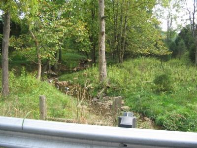
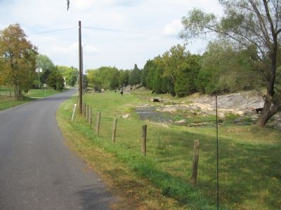
Some two and a half miles west, where Back Road (County Route 623) crosses Toms Brook, Federals under Gen. Custer and Confederates under Gen. Rosser clashed. Both sides fought dismounted, taking cover behind the many stone walls along the farms and pastures in the vicinity. Part of Gen. Merritt's Federals were detached to support Custer, enabling an extension of the Union lines, eventually outflanking Rosser's Confederates. Rosser first attempted to refuse his left to counter this threat. This shortly turned into a general retreat when pressed from both front and flanks by the combined Federal force. All the while, Gen. Lomax's Confederate cavalry was similarly pressed to retreat by Federal forces along the Valley Pike (US 11).
Credits. This page was last revised on April 9, 2018. It was originally submitted on October 13, 2007, by Craig Swain of Leesburg, Virginia. This page has been viewed 1,892 times since then and 35 times this year. Last updated on December 9, 2011, by Don Hogan of Milton, Georgia. Photos: 1, 2, 3, 4. submitted on October 13, 2007, by Craig Swain of Leesburg, Virginia.


