Near Blenheim in Marlboro County, South Carolina — The American South (South Atlantic)
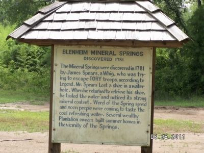
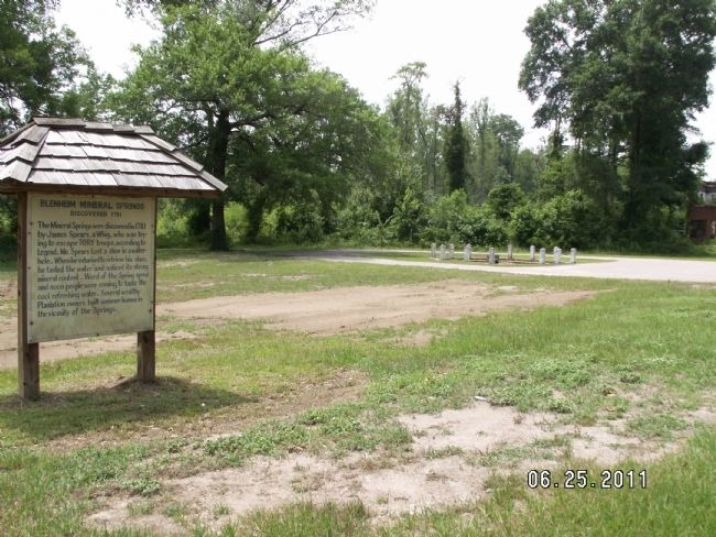
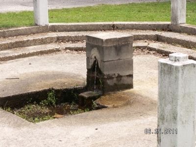
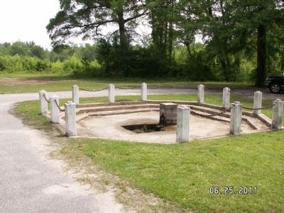
Blenheim Mineral Springs
Discovered 1781
Topics. This historical marker is listed in these topic lists: Settlements & Settlers • War, US Revolutionary. A significant historical year for this entry is 1781.
Location. 34° 30.596′ N, 79° 33.834′ W. Marker is near Blenheim, South Carolina, in Marlboro County. Marker is on Spring Road, on the right when traveling south. Touch for map. Marker is in this post office area: Blenheim SC 29516, United States of America. Touch for directions.
Other nearby markers. At least 8 other markers are within 7 miles of this marker, measured as the crow flies. Selkirk Farm (approx. 4.6 miles away); Clio Passenger Depot (approx. 4.8 miles away); Clio (approx. 4.9 miles away); Robert Blair Campbell / John Campbell (approx. 5.1 miles away); Blenheim (approx. 5.1 miles away); Brownsville Baptist Church (approx. 5.9 miles away); Pine Hill A.M.E. Church / Pine Hill Rosenwald School (approx. 6.7 miles away); Grave of Mason Lee / Will of Mason Lee (approx. 6.8 miles away). Touch for a list and map of all markers in Blenheim.
Credits. This page was last revised on September 18, 2020. It was originally submitted on December 10, 2011, by Anna Inbody of Columbia, South Carolina. This page has been viewed 1,212 times since then and 27 times this year. Photos: 1, 2, 3, 4. submitted on December 10, 2011, by Anna Inbody of Columbia, South Carolina. • Craig Swain was the editor who published this page.


