Newport Beach in Orange County, California — The American West (Pacific Coastal)
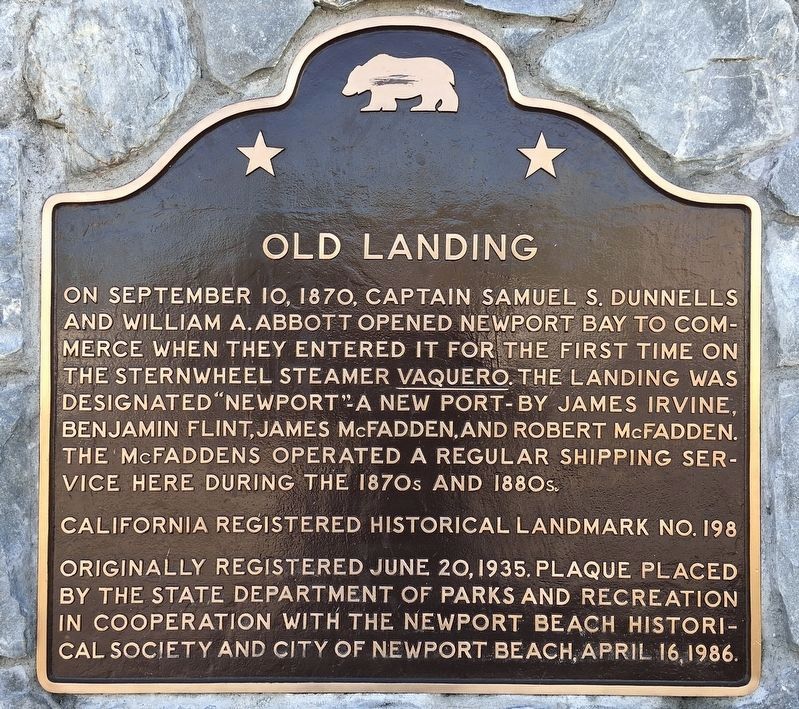
Old Landing
Erected 1986 by State Department of Parks and Recreation in cooperation with the Newport Beach Historical Society and City of Newport Beach. (Marker Number 198.)
Topics and series. This historical marker is listed in this topic list: Waterways & Vessels. In addition, it is included in the California Historical Landmarks series list. A significant historical month for this entry is September 1787.
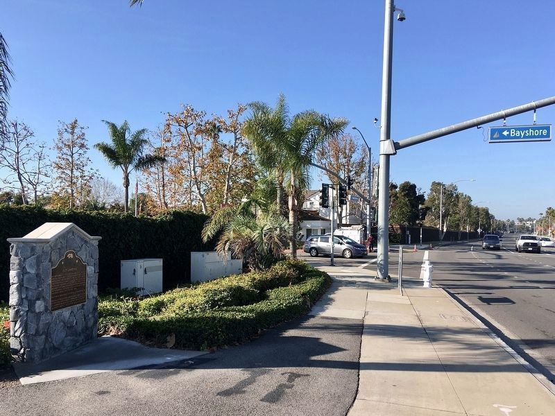
Location. 33° 36.966′ N, 117° 54.419′ W. Marker is in Newport Beach, California, in Orange County. Marker is at the intersection of Pacific Coast Highway (California Route 1) and Bayshore Drive, on the right when traveling east on Pacific Coast Highway. Touch for map. Marker is at or near this postal address: 2888 Bayshore Dr, Newport Beach CA 92663, United States of America. Touch for directions.
Other nearby markers. At least 8 other markers are within one mile of this marker, measured as the crow flies. Castaways Park (approx. 0.2 miles away); 1st Battalion, 1st Marines, 1st Marine Division Memorial (approx. 0.2 miles away); First Ferry Service Between Balboa and Balboa Island (approx. 0.9 miles away); Mariner's Mile (approx. one mile away); Pizza Pete's Cafe (approx. one mile away); Balboa Saloon (approx. one mile away); Balboa Pavilion (approx. one mile away); a different marker also named Balboa Pavilion (approx. one mile away). Touch for a list and map of all markers in Newport Beach.
More about this marker. This site is California Historical Landmark No. 198.
Credits. This page was last revised on May 16, 2022. It was originally submitted on December 2, 2011. This page has been viewed 1,169 times since then and 55 times this year. Last updated on October 4, 2020, by Craig Baker of Sylmar, California. Photos: 1. submitted on January 9, 2022, by Craig Baker of Sylmar, California. 2. submitted on December 2, 2011, by Michael Kindig of Elk Grove, California. 3. submitted on January 9, 2022, by Craig Baker of Sylmar, California. • J. Makali Bruton was the editor who published this page.


