Amarillo in Potter County, Texas — The American South (West South Central)
Cadillac Ranch
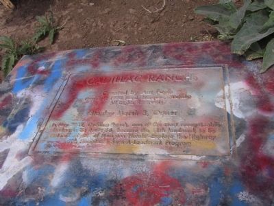
Photographed by Michael Kindig, May 20, 2003
1. Cadillac Ranch Marker
Copyright 1974 (Lord Marquez, Michels)
All Rights Reserved
Stanley Marsh 3, Owner
In May 2002, Cadillac Ranch, one of the most recognizable landmarks on Route 66, became the 11th landmark to be restored as part of Hampton Hotels Explore the Highway with Hampton Save-A-Landmark Program.
Topics and series. This historical marker is listed in this topic list: Landmarks. In addition, it is included in the U.S. Route 66 series list. A significant historical month for this entry is May 2002.
Location. 35° 11.233′ N, 101° 59.21′ W. Marker is in Amarillo, Texas, in Potter County. It is on I-40 Frontage Road 0.8 miles west of Hope Road, on the right when traveling east. Touch for map. Marker is in this post office area: Amarillo TX 79124, United States of America. Touch for directions.

Regionally, this marker is on the Texas Panhandle. It is also on the American Great Plains, specifically on the Southern Plains, and specifically on the High Plains. Globally, it is in North America, a Gulf of Mexico state, the Western Hemisphere, the Western World, and the Anglosphere. Historically, it finds itself
this page online
Other nearby markers. At least 8 other markers are within 6 miles of this marker, measured as the crow flies: Amarillo Helium Plant (approx. 1.8 miles away); Helium Time Columns (approx. 4.2 miles away); 1983 Relocation of the Helium Monument (approx. 4.2 miles away); Jack B. Kelley (approx. 4.2 miles away); Helium Capital of the World (approx. 4.2 miles away); Quanah Parker Comanche Chief (approx. 4.3 miles away); Quanah Parker Trail (approx. 4.3 miles away); Smith-Rogers House (approx. 5½ miles away). Touch for a list and map of all markers in Amarillo.
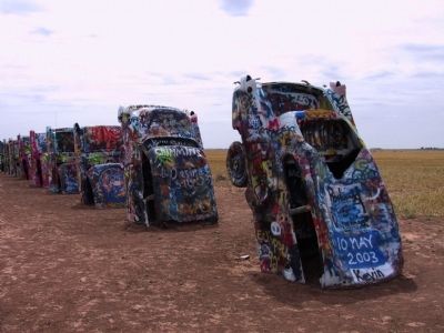
Photographed by Michael Kindig, May 20, 2003
2. Cadillac Ranch
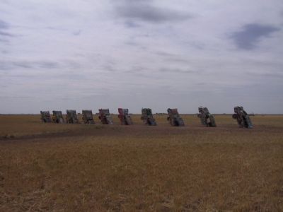
Photographed by Michael Kindig, May 20, 2003
3. Cadillac Ranch
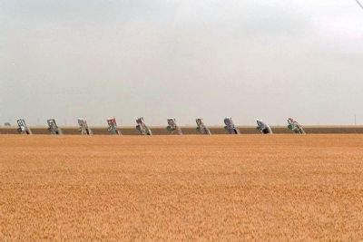
Photographed by Mike Stroud, May 30, 1996
4. Cadillac Ranch seen from I-40
Credits. This page was last revised on June 16, 2016. It was originally submitted on December 10, 2011, by Michael Kindig of Elk Grove, California. This page has been viewed 1,857 times since then and 39 times this year. Photos: 1, 2, 3. submitted on December 10, 2011, by Michael Kindig of Elk Grove, California. 4. submitted on December 11, 2011, by Mike Stroud of Bluffton, South Carolina. • Bernard Fisher was the editor who published this page.
