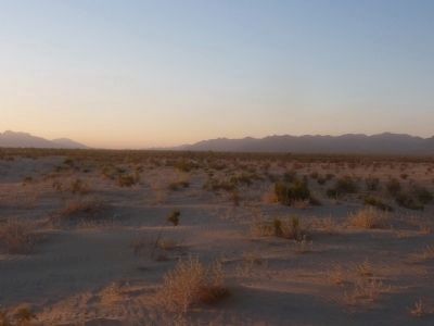
Chiriaco Summit in Riverside County, California — The American West (Pacific Coastal)
Desert Training Center
California Arizona Maneuver Area
Inscription.
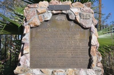
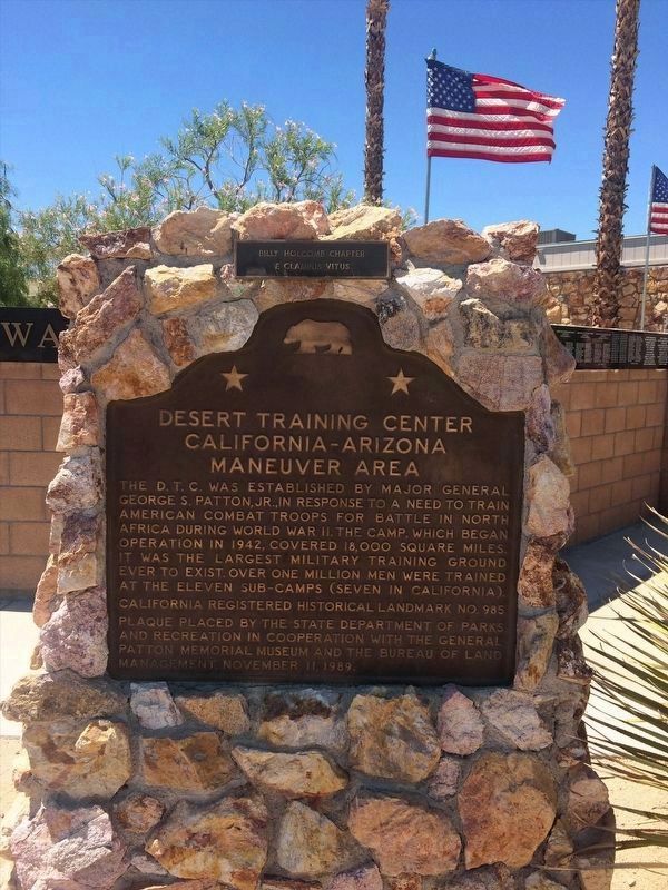
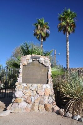
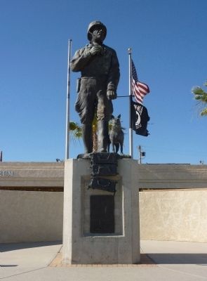
The D.T.C was established by Major General George S. Patton Jr. in response to a need to train American combat troops for battle in North Africa during World War II. The camp, which began operation in 1942 covered 18,000 square miles. It was the largest military training ground ever to exist. Over one million men were trained at the eleven sub-camps (seven in California.
Erected 1989 by State Department of Parks and Recreation, General Patton Memorial Museum and the Bureau of Land Management. (Marker Number 985.)
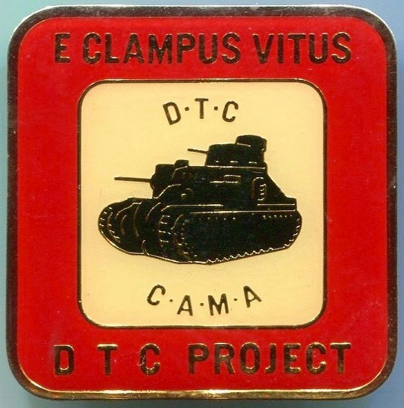
Topics and series. This historical marker is listed in these topic lists: Government & Politics • Military • War, World II. In addition, it is included in the California Historical Landmarks, the Desert Training Center, and the E Clampus Vitus series lists. A significant historical year for this entry is 1942.
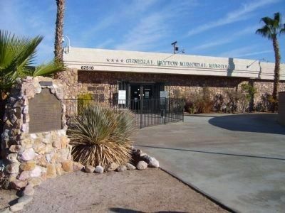
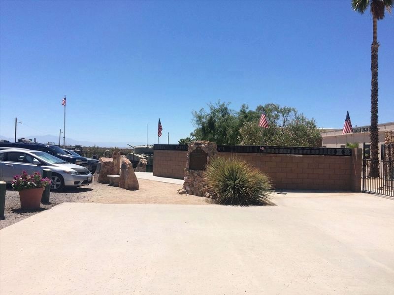
Location. 33° 39.697′ N, 115° 43.367′ W. Marker is in Chiriaco Summit, California, in Riverside County. Marker can be reached from Chiriaco Road (Business Interstate 10) just north of Summit Road, on the left when traveling east. This location is about 26 miles east of Indio. The marker is on the left as you approach the entrance to the general Patton Memorial Museum. Touch for map. Marker is in this post office area: Indio CA 92201, United States of America. Touch for directions.
Other nearby markers. At least 8 other markers are within walking distance of this marker. A different marker also named The Desert Training Center (here, next to this marker); California-Arizona Maneuver Area (a few steps from this marker); Coachella Valley Recipients (a few steps from this marker); a different marker also named Desert Training Center (within shouting distance of this marker); 33-barreled Organs (about 300 feet away, measured in a direct line); Cannons (about 300 feet away); Scythed Chariots (about 300 feet away); Catapults (about 300 feet away). Touch for a list and map of all markers in Chiriaco Summit.
More about this marker. This location has also been known as Romero Pass, Bradshaw Pass and Grant Pass. Currently the area is known as Chiriaco Summit.
Look for the tall fence and WWII armored vehicles.
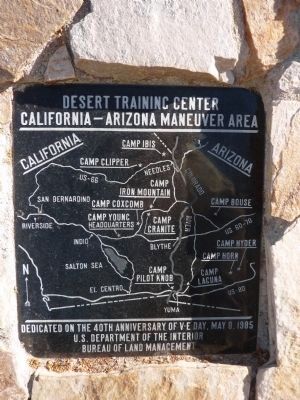
Regarding Desert Training Center. There are a number of markers in the region honoring various parts of the training center. The south side of this marker's pyramid has an overview map of the region used for training and the many sub-camps.
The Desert Training Center/California-Arizona Maneuver Area (DTC/CAMA) remains as the single largest army post and training grounds in the United States Army history. Covering over 30,000 acres with training areas in Arizona, Nevada and California, the area offered a variety of land forms to train over 1 million men and women in a large number of military duties.
SOURCE: Billy Holcomb Chapter 1069 35th Anniversary Plaque Book by Phillip Holdaway
Also see . . .
1. California/Arizona Maneuver Area. Military Museum website entry:
This was the largest Army base in the world covering some 18,000 square miles. It stretched from the outskirts of Pomona, California eastward to within 50 miles of Phoenix, Arizona, southward to the suburbs of Yuma, Arizona and northward into the southern tip of Nevada. It existed primarily to train U.S. forces in desert warfare for the North African campaign. (Submitted on June 18, 2010.)
2. Wander the American Desert Where Patton Trained His Tank Crews for North Africa. HistoryNet website entry (Submitted on March 25, 2024, by Larry Gertner of New York, New York.)
Credits. This page was last revised on March 25, 2024. It was originally submitted on June 18, 2010, by Chris English of Phoenix, Arizona. This page has been viewed 2,373 times since then and 25 times this year. Last updated on December 19, 2011, by Michael Kindig of Elk Grove, California. Photos: 1. submitted on December 26, 2011, by Michael Kindig of Elk Grove, California. 2. submitted on February 16, 2022, by Adam Margolis of Mission Viejo, California. 3. submitted on December 26, 2011, by Michael Kindig of Elk Grove, California. 4. submitted on December 24, 2012, by Bill Kirchner of Tucson, Arizona. 5. submitted on February 16, 2022, by Adam Margolis of Mission Viejo, California. 6. submitted on June 19, 2010, by Chris English of Phoenix, Arizona. 7. submitted on August 8, 2016, by Michael Kindig of Elk Grove, California. 8. submitted on June 18, 2010, by Chris English of Phoenix, Arizona. 9. submitted on June 20, 2010, by Chris English of Phoenix, Arizona. • Syd Whittle was the editor who published this page.
