Waverly Hall in Harris County, Georgia — The American South (South Atlantic)
Waverly Hall
Erected by Georgia Historical Commission. (Marker Number 072-2.)
Topics and series. This historical marker is listed in this topic list: Settlements & Settlers. In addition, it is included in the Georgia Historical Society series list. A significant historical date for this entry is February 2, 1848.
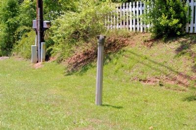
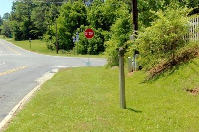
Location. Marker has been reported missing. It was located near 32° 41.351′ N, 84° 44.031′ W. Marker was in Waverly Hall, Georgia, in Harris County. Marker was at the intersection of Georgia Route 208 and Warm Springs Road (Georgia Route 85), on the right when traveling west on State Route 208. Touch for map. Marker was in this post office area: Waverly Hall GA 31831, United States of America. Touch for directions.
Other nearby markers. At least 8 other markers are within 10 miles of this location, measured as the crow flies. Lucy Laney Elementary School (approx. one mile away); The Wire Road (approx. 5.6 miles away); Kingsboro & Cataula (approx. 8.2 miles away); Valley of Hope (approx. 9.1 miles away); Pine Mountain Valley Resettlement Project (approx. 9.2 miles away); Hamilton Female College (approx. 9.2 miles away); Richard Christmas (approx. 9.3 miles away); B. F. White (approx. 9˝ miles away).
More about this marker. The marker was observed standing in 2003. Text for the missing marker was taken from “Georgia Historical Markers” (Bay Tree Grove, Second Edition 1978) compiled by Carroll P. Scruggs from the records of the Georgia Historical Commission.
Credits. This page was last revised on June 16, 2016. It was originally submitted on December 26, 2011, by David Seibert of Sandy Springs, Georgia. This page has been viewed 945 times since then and 31 times this year. Photos: 1, 2. submitted on December 26, 2011, by David Seibert of Sandy Springs, Georgia. • Craig Swain was the editor who published this page.

