Statesville in Iredell County, North Carolina — The American South (South Atlantic)
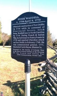
Hugh Waddell
c. 1734-April 9, 1773
Erected 2007 by the Society of Colonial Wars in the State of North Carolina on the Occasion of the French and Indian War 250th Commemoration, October 2007.
Topics. This historical marker is listed in these topic lists: Patriots & Patriotism • War, French and Indian. A significant historical month for this entry is February 1760.
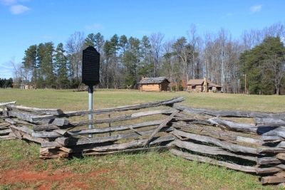
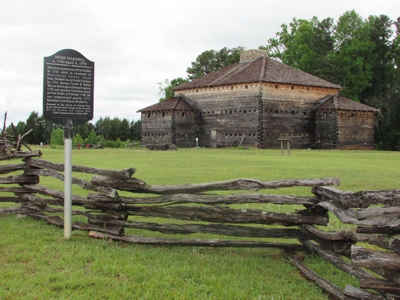
Location. 35° 49.271′ N, 80° 53.808′ W. Marker is in Statesville, North Carolina, in Iredell County. Marker is on Fort Dobbs Road, one mile west of U.S. 21, on the right when traveling west. Marker is along a wooden fence in front of the site of Fort Dobbs. Touch for map. Marker is in this post office area: Statesville NC 28625, United States of America. Touch for directions.
Other nearby markers. At least 8 other markers are within 3 miles of this marker, measured as the crow flies. The Natural Landscape of Fort Dobbs (within shouting distance of this marker); Anglo-Cherokee War (1759 - 1761) (within shouting distance of this marker); They found the fire very hot … February 27, 1760 (within shouting distance of this marker); Site of Fort Dobbs (within shouting distance of this marker); a different marker also named Site of Fort Dobbs (about 300 feet away, measured in a direct line); Preserving the Past (about 400 feet away); Fort Dobbs (approx. 1.3 miles away); Iredell County Korea & Vietnam War Memorial (approx. 2.4 miles away). Touch for a list and map of all markers in Statesville.
Credits. This page was last revised on June 26, 2022. It was originally submitted on December 28, 2011, by Jamie Cox of Melbourne, Florida. This page has been viewed 779 times since then and 38 times this year. Photos: 1, 2. submitted on December 28, 2011, by Jamie Cox of Melbourne, Florida. 3. submitted on May 26, 2022, by Bill Coughlin of Woodland Park, New Jersey. • Craig Swain was the editor who published this page.


