Viola in Kent County, Delaware — The American Northeast (Mid-Atlantic)
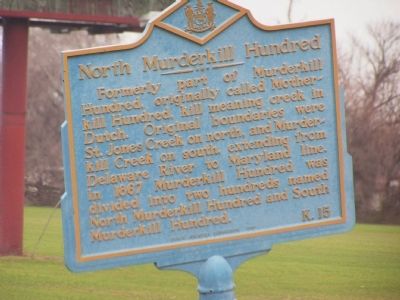
North Murderkill Hundred
Erected 1966 by Public Archives Commission. (Marker Number K-15.)
Topics and series. This historical marker is listed in this topic list: Political Subdivisions. In addition, it is included in the Delaware Public Archives series list. A significant historical year for this entry is 1867.
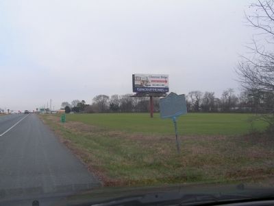
Location. 39° 2.263′ N, 75° 33.567′ W. Marker is in Viola, Delaware, in Kent County. Marker is on Rt. 13. Touch for map. Marker is in this post office area: Felton DE 19943, United States of America. Touch for directions.
Other nearby markers. At least 8 other markers are within 5 miles of this marker, measured as the crow flies. Immigrant Jewish Farmers (approx. 1.8 miles away); Rescue House of Prayer (approx. 2.1 miles away); Felton Railroad Station (approx. 2.1 miles away); Captain Jonathan Caldwell (approx. 2.2 miles away); Honor and Remember (approx. 2.2 miles away); Town of Felton (approx. 2.2 miles away); Geographic Center of Delaware (approx. 2.3 miles away); Samuel D. Burris (approx. 4.4 miles away).
Credits. This page was last revised on June 16, 2016. It was originally submitted on December 29, 2011, by Nathan Davidson of Salisbury, Maryland. This page has been viewed 1,109 times since then and 119 times this year. Photos: 1, 2. submitted on December 29, 2011, by Nathan Davidson of Salisbury, Maryland. • Bill Pfingsten was the editor who published this page.

