Dover in Kent County, Delaware — The American Northeast (Mid-Atlantic)
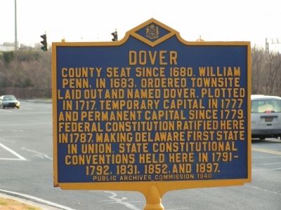
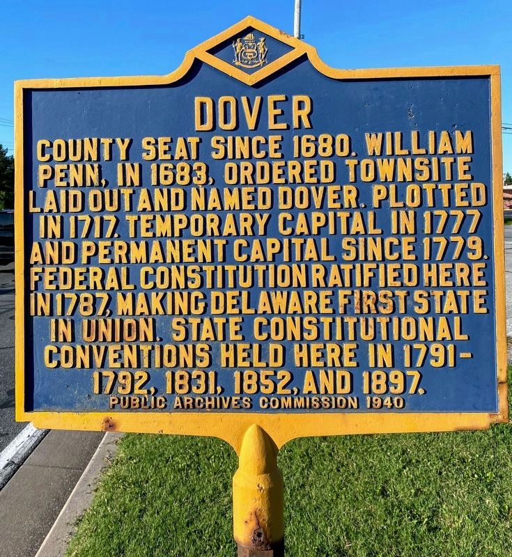
Dover
Erected 1940 by Public Archives Commission. (Marker Number KC-38.)
Topics and series. This historical marker is listed in these topic lists: Colonial Era • Settlements & Settlers. In addition, it is included in the Delaware Public Archives series list. A significant historical year for this entry is 1680.
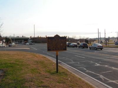
Location. 39° 8.452′ N, 75° 31.35′ W. Marker is in Dover, Delaware, in Kent County. Marker is on S. State Street. At intersection of S. State Street and Rt. 13. Touch for map. Marker is in this post office area: Dover DE 19901, United States of America. Touch for directions.
Other nearby markers. At least 8 other markers are within one mile of this marker, measured as the crow flies. Kent County Theatre Guild (approx. 0.4 miles away); Revolutionary War Patriot John Banning (approx. 0.9 miles away); Old Christ Church (approx. one mile away); Nicholas Ridgely (approx. one mile away); Caesar Rodney (approx. one mile away); Charles Inglis (approx. one mile away); Thomas Stevenson House (approx. one mile away); Loockerman House (approx. one mile away). Touch for a list and map of all markers in Dover.
Additional commentary.
1. Marker Number
I found an online map from the Delaware Public Archives that lists this marker as being number "KC-38". I have updated the marker page accordingly.
— Submitted April 30, 2024, by Pete Skillman of Townsend, Delaware.
Credits. This page was last revised on April 30, 2024. It was originally submitted on December 29, 2011, by Nathan Davidson of Salisbury, Maryland. This page has been viewed 709 times since then and 36 times this year. Photos: 1, 2. submitted on December 29, 2011, by Nathan Davidson of Salisbury, Maryland. 3. submitted on May 18, 2021, by Shane Oliver of Richmond, Virginia. • Bill Pfingsten was the editor who published this page.


